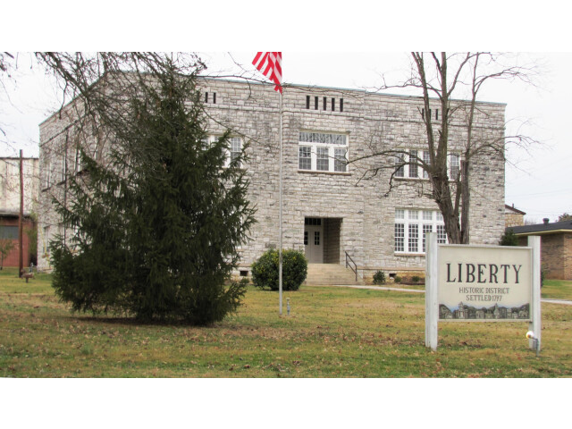
Liberty, TN Weather Forecast
Local 7-day forecast
Widespread Frost then Sunny
Track current conditions, temperature changes, wind, and the full daily outlook for Liberty, TN in one place.
Widespread frost and areas of fog before 8am. Sunny, with a high near 62. Northwest wind 0 to 5 mph.
Local Weather Overview
This forecast page for Liberty, TN is designed for quick trip planning, giving you a clean read on daytime highs, overnight lows, and changing conditions across the upcoming forecast window. Latest sync: Nov 7, 2026 12:19 AM CST.
The active forecast window currently covers Nov 8 to Nov 13, 2026 for Liberty, TN.
Page Snapshot
- Page focus
- city weather
- Forecast window
- Nov 8 to Nov 13, 2026
- Latest sync
- Nov 7, 2026 12:19 AM CST
- Forecast office
- OHX
- Source
- NOAA / NWS
Daily Outlook
This Week in Liberty
Tuesday looks like the warmest upcoming period in Liberty at 68 degrees F.
Sunday Night is the coolest period ahead with temperatures near 30 degrees F.
The strongest winds are forecast for Thursday at about 5 to 15 mph NW.
Precipitation is mentioned in 2 upcoming forecast periods.
Forecast Details
- Last updated
- Nov 7, 2026 12:19 AM CST
- Coverage
- 6 days
- Time zone
- America/Chicago
- Forecast office
- OHX
- Radar station
- KOHX
Weather data is provided by the National Weather Service and refreshed automatically for U.S. locations.
Open NOAA sourceExtended Forecast
Widespread frost and areas of fog after 11pm. Clear, with a low around 30. Wind around 0 mph.
Widespread frost and areas of fog before 7am, then areas of fog and patchy frost between 7am and 8am. Sunny, with a high near 66. Northwest wind 0 to 5 mph.
Areas of fog between 7pm and midnight, then areas of fog and patchy frost between midnight and 3am, then widespread frost and areas of fog. Mostly clear, with a low around 32. Wind around 0 mph.
Areas of frost and patchy fog before 9am. Sunny, with a high near 68. Southwest wind 0 to 5 mph.
Partly cloudy, with a low around 36. West southwest wind around 0 mph.
Mostly sunny, with a high near 68.
A chance of rain showers. Partly cloudy, with a low around 38. Chance of precipitation is 30%.
A slight chance of rain showers. Mostly sunny, with a high near 60. Chance of precipitation is 20%.
Partly cloudy, with a low around 30.
Mostly sunny, with a high near 54.
Detailed Forecast
| Period | Conditions | Temp | Wind |
|---|---|---|---|
|
Sunday
Nov 8
|
Widespread Frost then Sunny
|
62°F |
0 to 5 mph
NW
|
|
Sunday Night
Nov 8
|
Widespread Frost
|
30°F |
0 mph
|
|
Monday
Nov 9
|
Widespread Frost then Sunny
|
66°F |
0 to 5 mph
NW
|
|
Monday Night
Nov 9
|
Areas Of Fog
|
32°F |
0 mph
|
|
Tuesday
Nov 10
|
Areas Of Frost then Sunny
|
68°F |
0 to 5 mph
SW
|
|
Tuesday Night
Nov 10
|
Partly Cloudy
|
36°F |
0 mph
|
|
Veterans Day
Nov 11
|
Mostly Sunny
|
68°F |
0 to 5 mph
WSW
|
|
Wednesday Night
Nov 11
|
Chance Rain Showers
|
38°F |
0 to 5 mph
WSW
|
|
Thursday
Nov 12
|
Slight Chance Rain Showers
|
60°F |
5 to 15 mph
NW
|
|
Thursday Night
Nov 12
|
Partly Cloudy
|
30°F |
0 to 10 mph
NNW
|
|
Friday
Nov 13
|
Mostly Sunny
|
54°F |
5 to 15 mph
NNW
|
Nearby Forecasts
Explore weather pages for nearby cities and major places around Liberty.