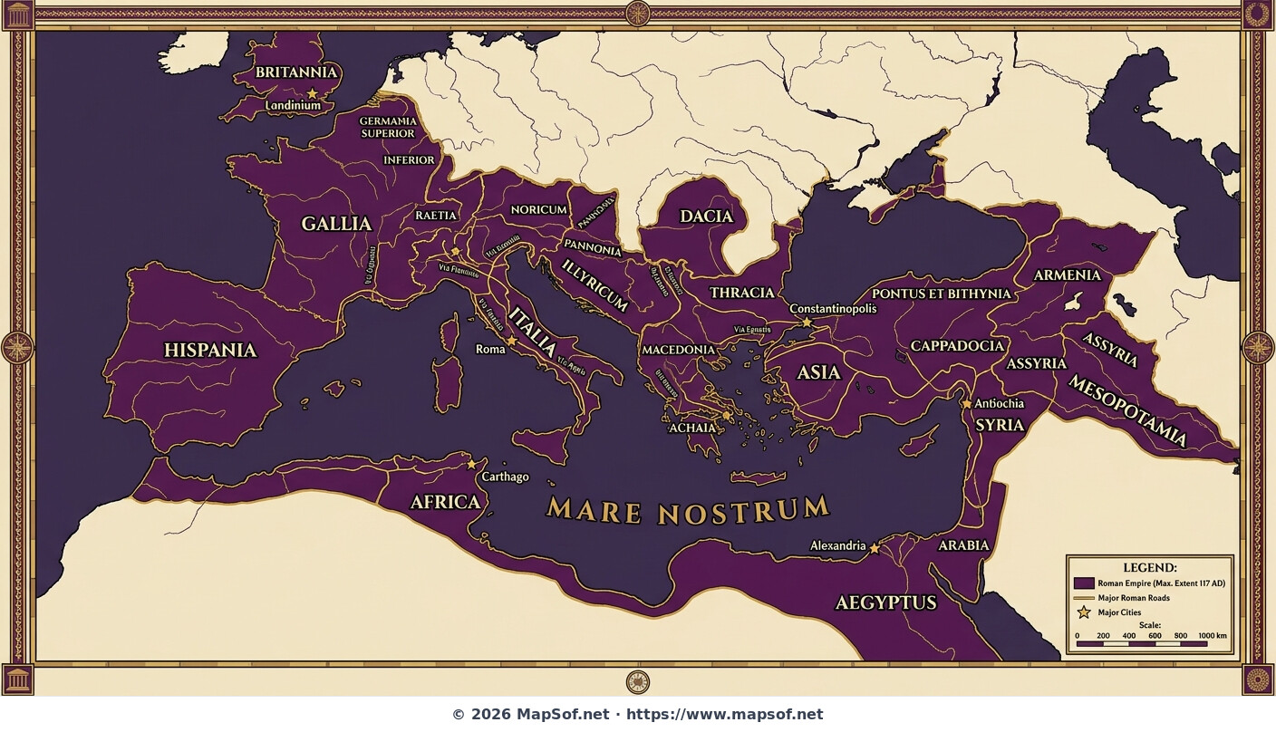
Roman Empire Maximum Extent 117 AD Map under Trajan
The Empire at Its Zenith
This historical map illustrates the Roman Empire at its maximum territorial extent in 117 AD, marking the culmination of Emperor Trajan's expansionist campaigns. It visualizes the vast domain under Roman rule, stretching from the Scottish borders in Britannia to the Persian Gulf in Mesopotamia, rendered in imperial purple and gold tones to emphasize the empire's power and majesty.
Provinces and Key Cities
The map details all imperial provinces labeled in their original Latin names. It highlights strategic urban centers vital to the empire's administration, trade, and defense, including the eternal city of Rome, alongside major hubs like Alexandria, Carthage, Antioch, and Londinium. The central Mediterranean Sea is prominently labeled as 'Mare Nostrum' ("Our Sea"), signifying total Roman control over the maritime heart of the classical world.
Infrastructure of Empire
Major Roman road networks are depicted connecting these distant cities across three continents, demonstrating the sophisticated engineering infrastructure that facilitated the movement of legions, goods, and communication. A legend and scale bar provide necessary context for understanding the immense scale of Trajan's empire at the height of the Pax Romana.
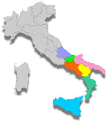
More Italian Republic Static Maps
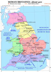
Roman Britain 410
Kerkstaat1204
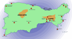
Capri Sights
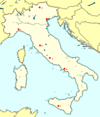
000 Italia Harta
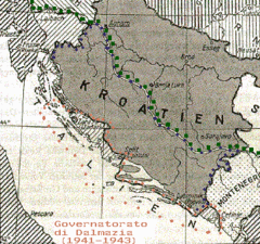
1941governatoratodalmazia
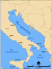
Adriatique Agathocle
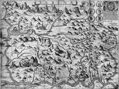
Arbitali Map
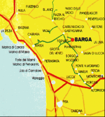
Barga2
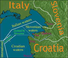
Bay of Piran Maritime Boundary Dispute
Bezochte Plaatsen Van Talenwonders
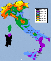
Blond Hair Italy
Borderdispute Bayofpiran Blank
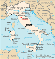
Cartina Stradale 1
Cartina Zone Morlupo
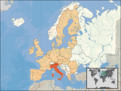
Eu Location Ita
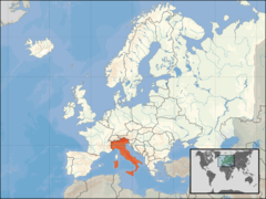
Europe Location Ita
Florence Map Is
Giubilio 1
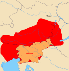
Greater Slovenia
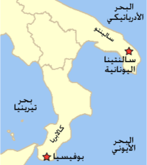
Grikospeakingcommunitiestodayv4 Ar
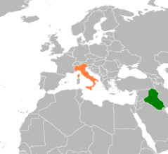
Iraq Italy Locator
It Map Es
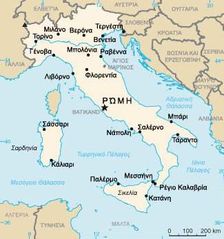
It Map Gr
It Map Is
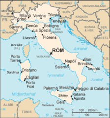
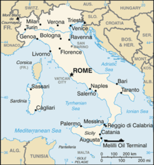
It Map
It Map 1
Italia Regioni Blank
Italia Regioni Color
Italia Province 2