Republic of Uganda Maps

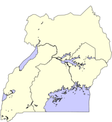
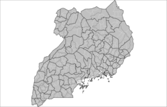
Ug Map
330 x 355 - 12,781k - png
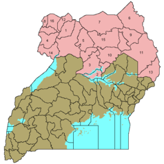
Uganda Distrikte 45
910 x 993 - 50,104k - png
Uganda Distrikte 56
910 x 993 - 53,629k - png
Uganda Distrikte Kitgum
920 x 585 - 28,442k - png
Uganda Protectorate British Administration
661 x 751 - 14,250k - png
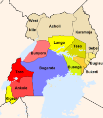
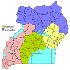
Uganda Regionen 4
910 x 993 - 35,237k - png
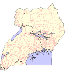
Uganda Strassennetz
910 x 993 - 77,882k - png
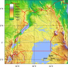
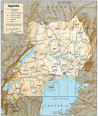
Uganda Topography
950 x 925 - 431,098k - png
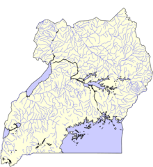
Uganda Wasserwege
910 x 993 - 89,167k - png

Uganda Counties
1601 x 1027 - 33,453k - png
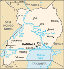
Uganda Large Map
997 x 1178 - 282,445k - jpg
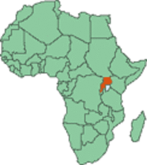
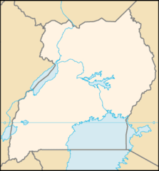
Uganda Map Locator 2
122 x 137 - 6,009k - gif
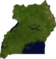
Uganda Sat
657 x 684 - 94,197k - png
Uganda Sm05 Tr
330 x 355 - 16,595k - gif
Uganda Sub Counties
1601 x 1027 - 48,323k - png
Uganda Locator
330 x 355 - 6,824k - png
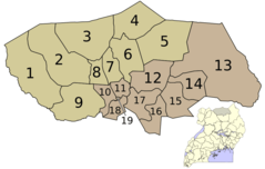
Ugandacentralnumbered
515 x 518 - 10,537k - png
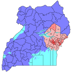
Ugandaeasternnumbered
515 x 518 - 10,906k - png
Ugandaflagcolors
916 x 951 - 18,864k - png
Ugandanorthernnumbered
515 x 518 - 10,509k - png
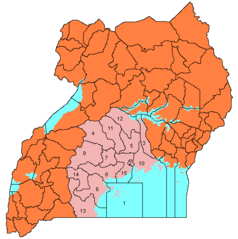
Ugandaregionslegend
515 x 518 - 10,827k - png