State of Maharashtra (State of Mahārāshtra), Maharashtra
State of Maharashtra: Issued under Article 371(2) of the Constitution of India.
About
State Snapshot
State of Mahārāshtra at a glance
State of Mahārāshtra currently has 190 quality-checked populated place pages and 15 county pages linked on MapSof.
Mapped cities & towns
190
These counts use a stricter populated-place filter so the main lists stay focused on real city and town pages.
County pages
15
Open related pagesLargest city
MumbaiPopulation 15,414,288
Top linked places
Quick Facts about State of Mahārāshtra
| State | Maharashtra (India) |
| Latitude & Longitude | 19.5000,76.0000 |
| Time Zone | Asia/Kolkata |
| Local time | 10:48:19 (10th June 2026) |
Geography
State of Mahārāshtra is located at 19°30'0"N 76°0'0"E (19.5000000, 76.0000000).
State of Maharashtra map
The largest city of State of Mahārāshtra is Nagpur with a population of 2,228,018. Other cities include, Pimpri population 1,284,606, Solāpur population 997,281, Amrāvati population 603,837 and Kolhāpur population 516,142. See all State of Mahārāshtra cities & populated places.
Official website of State of Mahārāshtra
Official WebsiteMap & Images (more maps)
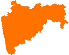
Blank Map of Maharashtra
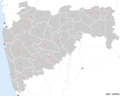
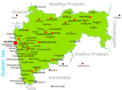
Cities Map of Maharashtra
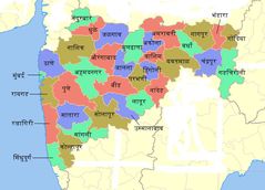
Districts Blank Map of Maharashtra
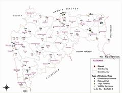
Districts Map of Maharashtra
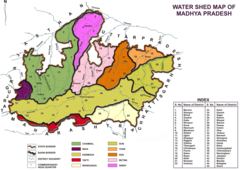
Hydrographic Map of Madhya Pradesh
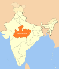
Location Map of Madhya Pradesh
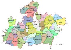
Madhya Pradesh Map
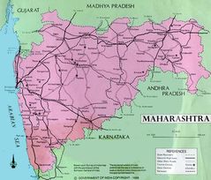
Maharashtra Map
Maharashtra Map 1
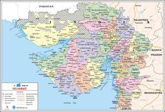
Political Map Gujarat
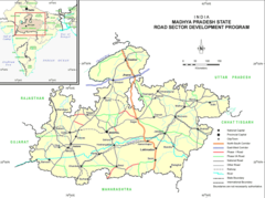
Political Map of Madhya Pradesh
Topographic Map Andhra Pradesh
Topographic Map of Madhya Pradesh