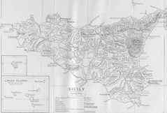
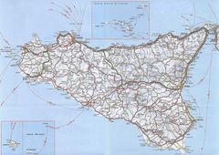
Map of Sicily
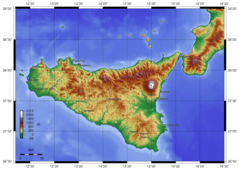
The Italian island of Sicily is located in the Mediterranean Sea just off the tip of Italy's boot. Examining the map of Sicily provides insight into its geography and landmarks.
Geography
- Sicily is the largest island in the Mediterranean Sea at 25,711 km2.
- It is separated from the mainland by the Strait of Messina.
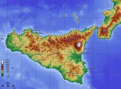
- The terrain is mostly hilly and mountainous. The highest peak is Mount Etna, an active volcano.
- The main plains are located along the coastlines.
Major Cities
-
Palermo - Capital and largest city located on the north coast.
- Catania - Major eastern port city near Mount Etna.
- Messina - Important harbor city situated directly across from mainland Italy.
Cultural Sites
-
The Valley of Temples - Ancient Greek ruins located on the southern coast.
- Mount Etna - Tallest active volcano in Europe, popular for hiking.
- Aeolian Islands - Volcanic island chain north of Sicily, known for natural beauty.
In summary, Sicily's map showcases its strategic location in the Mediterranean as well as its unique terrain marked by coastal plains, mountainous interior, and volcanic formations. Understanding the island's diverse geography provides insight into its rich history and culture.

Click on the Map of Sicily to view it full screen. File Type: jpg, File size: 122719 bytes (119.84 KB), Map Dimensions: 1196px x 893px (16777216 colors)
More Sicily Static Maps
Italy Sicily Blank Map
2000 x 2186 - 108,772k - png
Sicily Blank Map
2000 x 2186 - 74,995k - png
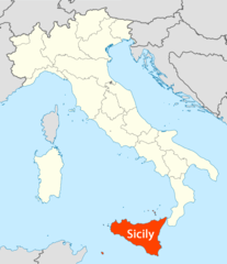
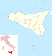
Location of Sicily Map
1338 x 1548 - 101,660k - png
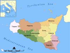
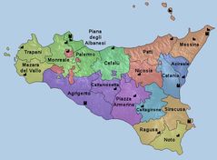
Provinces Map of Sicily
989 x 754 - 64,636k - png
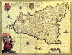
Ancient Map of Sicily
1252 x 849 - 111,488k - jpg
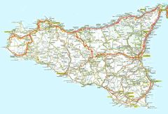
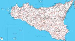
Detailed Map of Sicily
1200 x 817 - 183,570k - jpg
Ecclesiastical Region Map of Sicily
800 x 588 - 53,327k - jpg
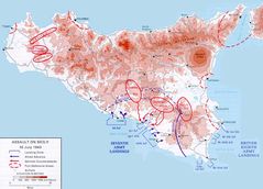
Historical Invasion Map of Sicily
806 x 580 - 64,955k - jpg
Historical Map of Sicily
1000 x 730 - 244,831k - jpg
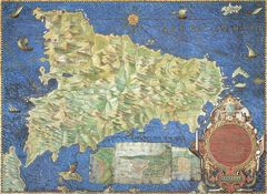
Historical Map of Sicily (1571 1638)
1400 x 1085 - 347,470k - jpg
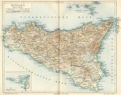
Historical Map of Sicily (1888)
780 x 614 - 88,579k - jpg
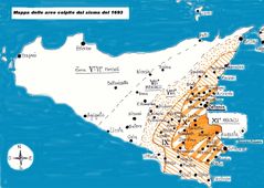
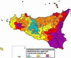
Historical Sesimic Map Sicily (1693)
1300 x 926 - 129,006k - jpg
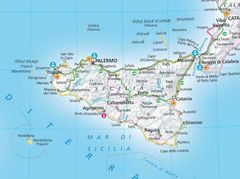
Map of Sicily
1196 x 893 - 122,719k - jpg
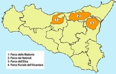
Natural Park Map of Sicily
650 x 419 - 33,747k - jpg
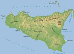
Physical Map of Sicily
850 x 624 - 42,045k - jpg
Sesimic Map of Sicily
981 x 805 - 118,258k - jpg
Sicily Detailed Map
1598 x 1134 - 366,331k - jpg
Sicily Map Detailed
2400 x 1327 - 549,664k - jpg
Topographic Map of Sicily
1290 x 945 - 155,570k - jpg
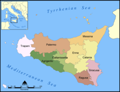
Provinces of Sicily Map
1000 x 769 - 65,162k - png
Sicily Topography
1500 x 1081 - 583,826k - png