Santa Clara Bike Way Map
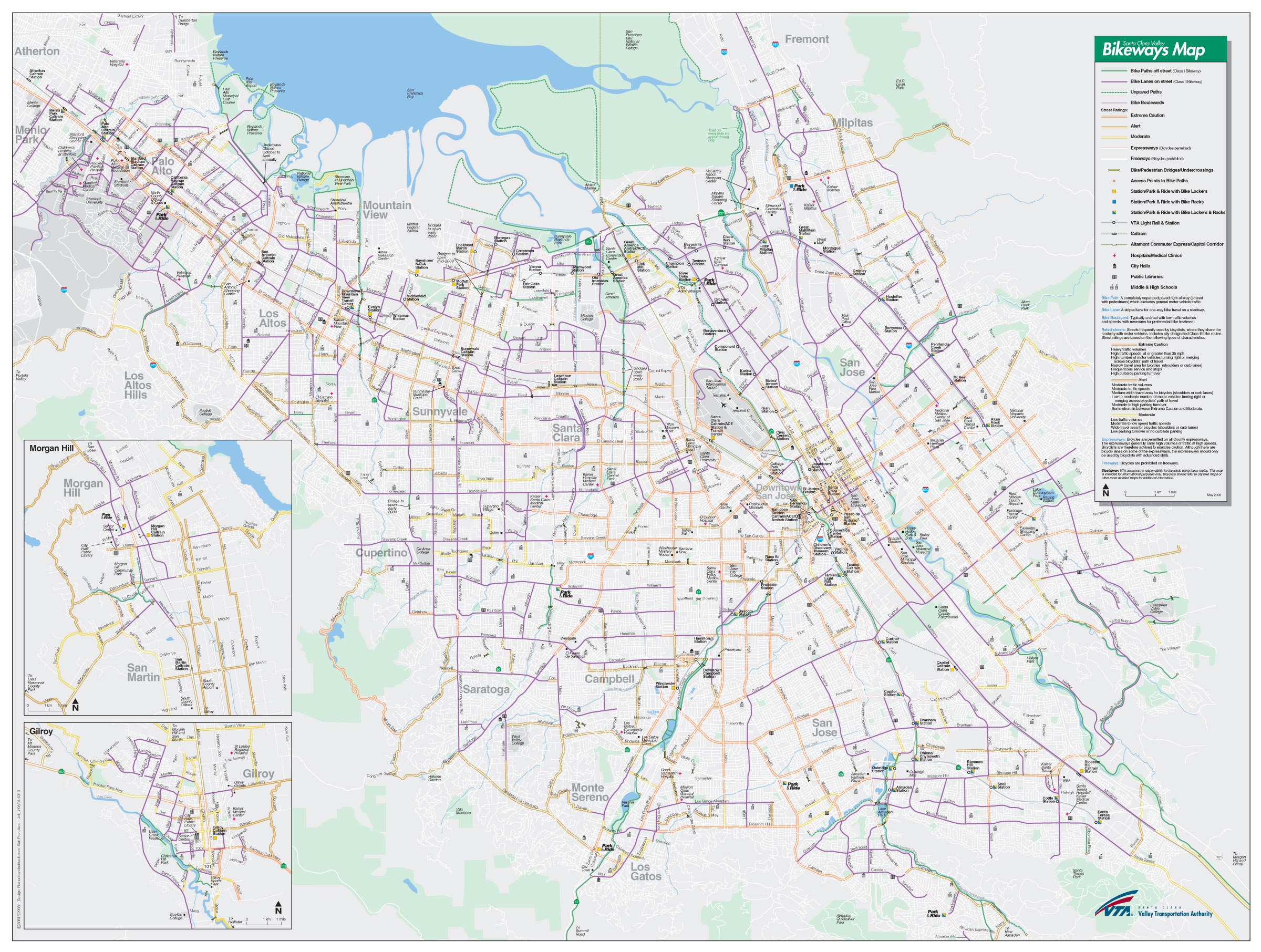
Click on the Santa Clara Bike Way Map to view it full screen. File Type: jpg, File size: 897119 bytes (876.09 KB), Map Dimensions: 2400px x 1812px (16777216 colors)
More Santa Static Maps
Santa Clara Bike Way Map
2400 x 1812 - 897,119k - jpg

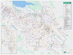
Santa Clara Central Park Map
1400 x 798 - 117,775k - png
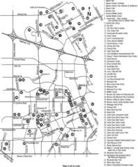
Santa Clara City Parks And Facilities Map
849 x 1027 - 112,643k - png
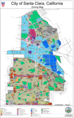
Santa Clara City Zone Map
1200 x 1904 - 517,571k - png
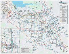
Santa Clara Transport Map
2206 x 1740 - 1,000,048k - jpg