Pysical Map of Trentino Alto Adige
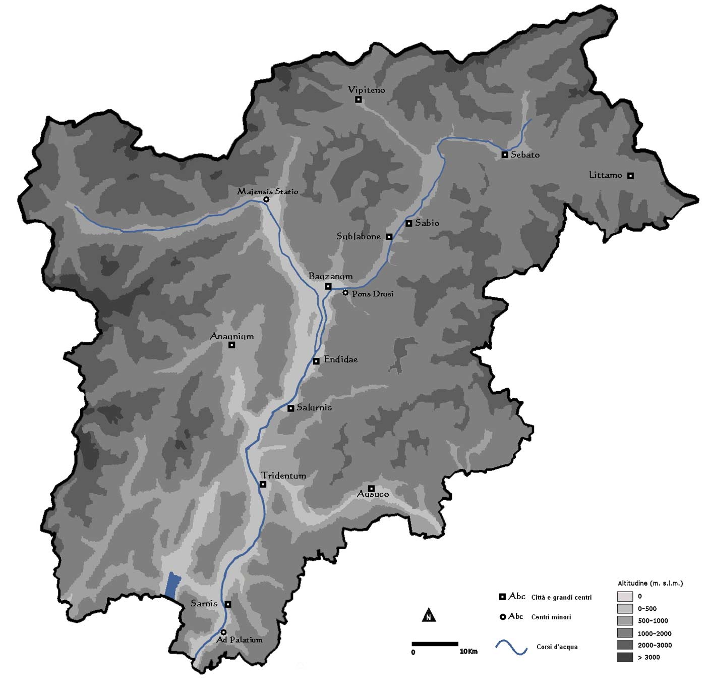
Click on the Pysical Map of Trentino Alto Adige to view it full screen. File Type: jpg, File size: 105961 bytes (103.48 KB), Map Dimensions: 1400px x 1363px (16777216 colors)
More Trentino-Alto Adige Static Maps
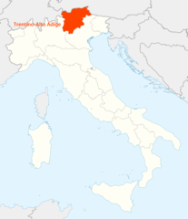
Location of Trentino Alto Adige Map
1338 x 1548 - 99,347k - png
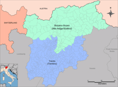
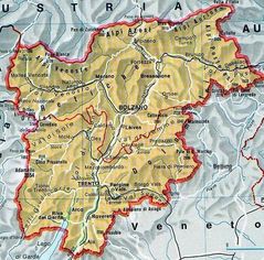
Provinces Map of Trentino Alto Adige
1400 x 1024 - 262,514k - png
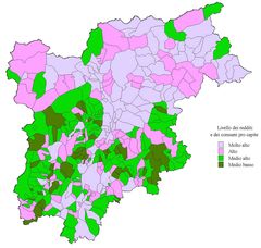
Economic Map of Trentino Alto Adige
1400 x 1328 - 190,004k - jpg
Political Map of Trentino Alto Adige
660 x 647 - 75,790k - jpg
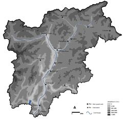
Pysical Map of Trentino Alto Adige
1400 x 1363 - 105,961k - jpg
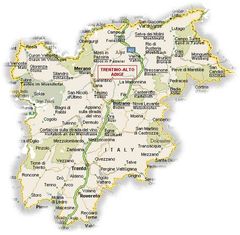
Trentino Alto Adige Political Map
800 x 789 - 160,185k - jpg