New Hampshire Reference Map
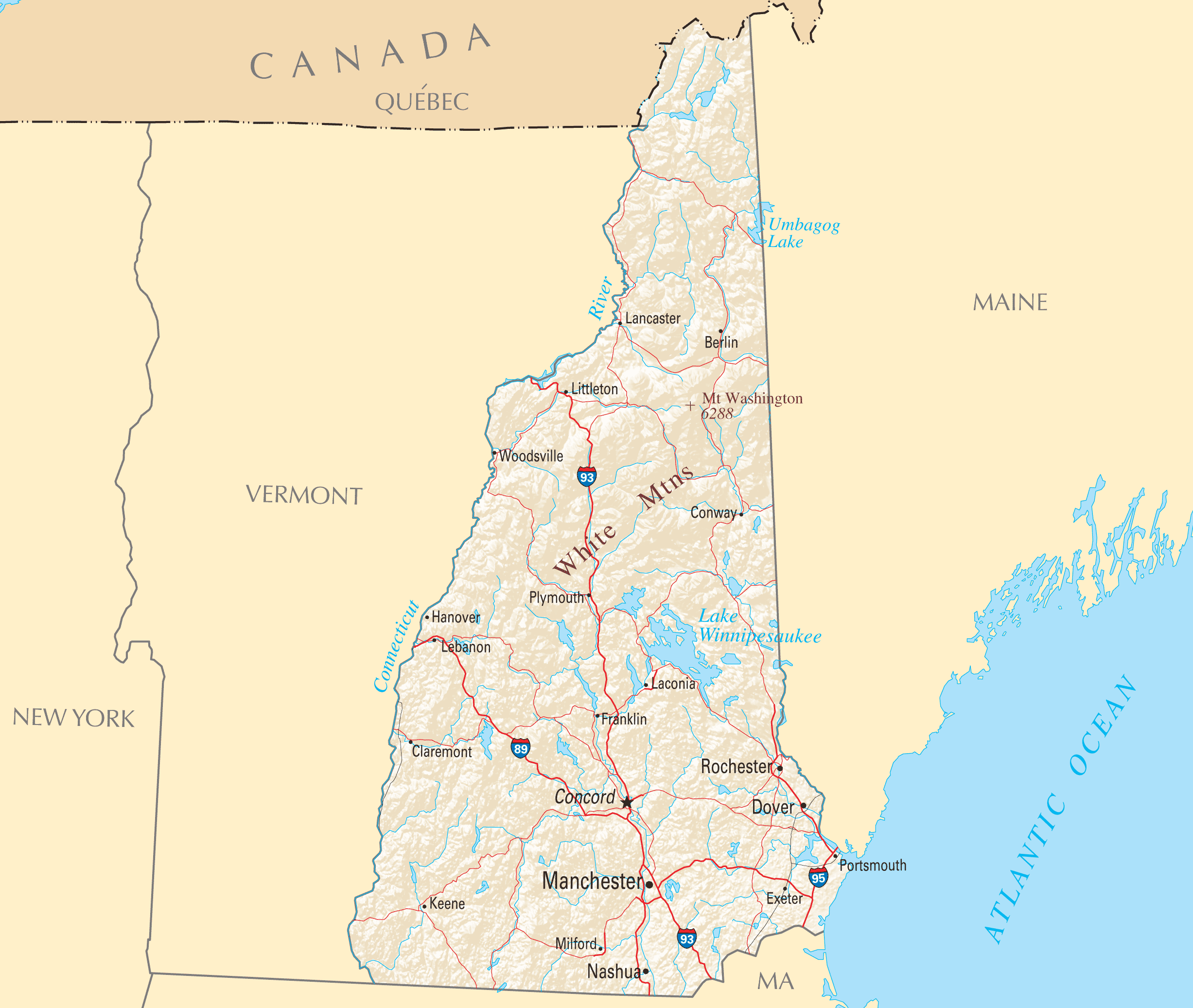
Click on the New Hampshire Reference Map to view it full screen. File Type: PNG, File size: 517659 bytes (505.53 KB), Map Dimensions: 2454px x 2073px ( colors)
More New Hampshire Static Maps
Map of New Hampshire Na 1
1200 x 927 - 120,520k - png
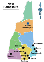
Map of New Hampshire Regions
1488 x 2105 - 102,262k - png
New Hampshire Road Map
1552 x 2640 - 166,713k - png
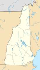
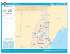
Usa New Hampshire Location Map
1000 x 1753 - 79,812k - png

New Hampshire Flag Map
766 x 1494 - 55,845k - png
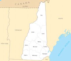
New Hampshire Cities And Towns
2454 x 2073 - 100,637k - PNG
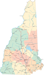
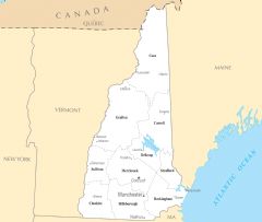
New Hampshire County Map
2442 x 2079 - 86,659k - PNG
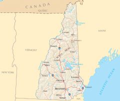
New Hampshire Reference Map
2454 x 2073 - 517,659k - PNG
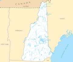
New Hampshire Rivers And Lakes
2445 x 2070 - 149,917k - PNG
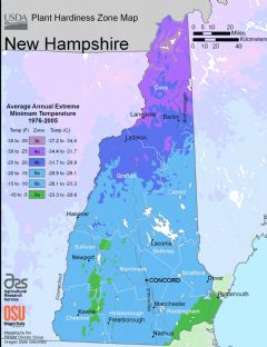
New Hampshire Plant Hardiness Zone Map
2224 x 2892 - 223,497k - PNG