Republic of India Maps
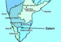
Salem I Indien
290 x 202 - 9,700k - jpg
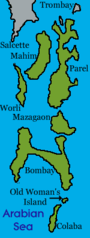
Sevenislandsofbombay
150 x 397 - 6,364k - png
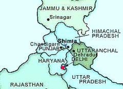
Shimla Indien
241 x 175 - 10,295k - jpg
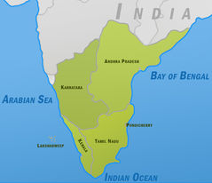
South India Polmap,
529 x 456 - 60,423k - jpg
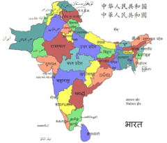
South Asia Local Lang
725 x 622 - 29,551k - png
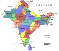
South Asia Local
725 x 622 - 27,643k - png
Southindiaregionsweb
790 x 794 - 60,094k - png
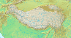
Topografic Map of Himalaya 1
1200 x 644 - 533,707k - png
Topographic30deg N0e60
1200 x 1200 - 353,366k - png
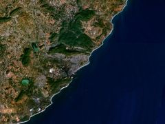
Vishakhapatnam 83 32513e 17 72616n
1280 x 958 - 180,241k - jpg
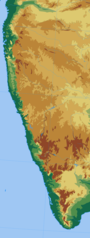
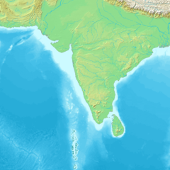
Western Ghats
552 x 1458 - 65,991k - png
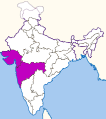
Westindiamap
624 x 704 - 20,723k - png
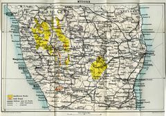
Wikipedia Oldmysore
1200 x 840 - 273,047k - jpg
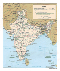
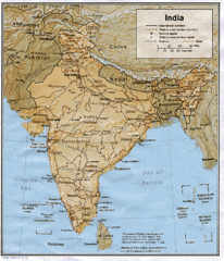
Political Map of India 1996
720 x 855 - 400,448k - gif
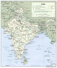
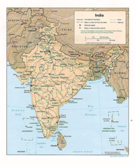
Political Map of India 2001
720 x 867 - 419,965k - gif
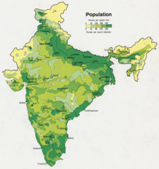
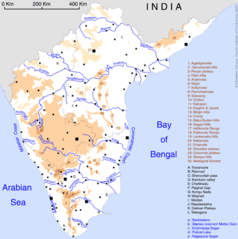
Population Map of India 1973
720 x 764 - 335,349k - gif
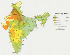
Crop Areas Map of India 1973
720 x 560 - 203,954k - gif
Shared Relief Map of India 1996
720 x 882 - 432,376k - gif
Shared Releif Map of India 1979
720 x 838 - 201,766k - gif
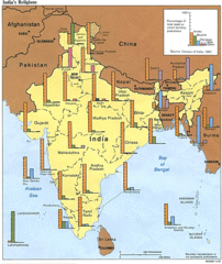
Religions Map of India 1987
720 x 854 - 364,713k - gif
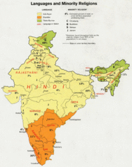
Languages And Religions Map of India 1973
720 x 917 - 378,903k - gif