Florida Rivers And Lakes
Florida has many rivers that provide ecological, commercial, and recreational benefits.
St. Johns River
The St. Johns River flows through northeast Florida and Jacksonville. Facts about the St. Johns River:
- At 310 miles long, it is one of the longest rivers in Florida.
- The St. Johns flows north instead of south like most Florida rivers.
- It provides an important habitat for birds, fish, and other wildlife.
- The river allows commercial shipping to the port of Jacksonville.
Kissimmee River
The Kissimmee River is located in central Florida south of Orlando. Details about the Kissimmee River:
- It flows over 100 miles from Lake Kissimmee to Lake Okeechobee.
- The river was channelized in the 1960s for flood control but is currently being restored.
- It provides a unique habitat within the Kissimmee River valley.
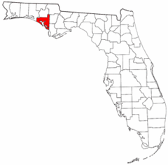
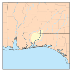
Apalachicola River
The Apalachicola River flows south from Georgia into the Florida panhandle. Facts about the Apalachicola River:
- It forms part of the border between Alabama and Florida.
- The river has a rich floodplain ecosystem and supports extensive biodiversity.
- It provides opportunity for boating, fishing and paddling.
Major Lakes in Florida
Some of Florida's most significant lakes are:
- Lake Okeechobee: The largest freshwater lake in Florida, important for ecosystems and irrigation.
- Lake George: Located north of Orlando, part of the St. Johns River system.
- Lake Tarpon: Located near Tampa Bay, known for largemouth bass fishing.
- Lake Jackson: Situated north of Tallahassee, a shallow prairie lake.
Florida's rivers and lakes provide vast ecological and recreational resources as well as key drainage across the state. Learning about them offers insight into Florida's geography and environment.
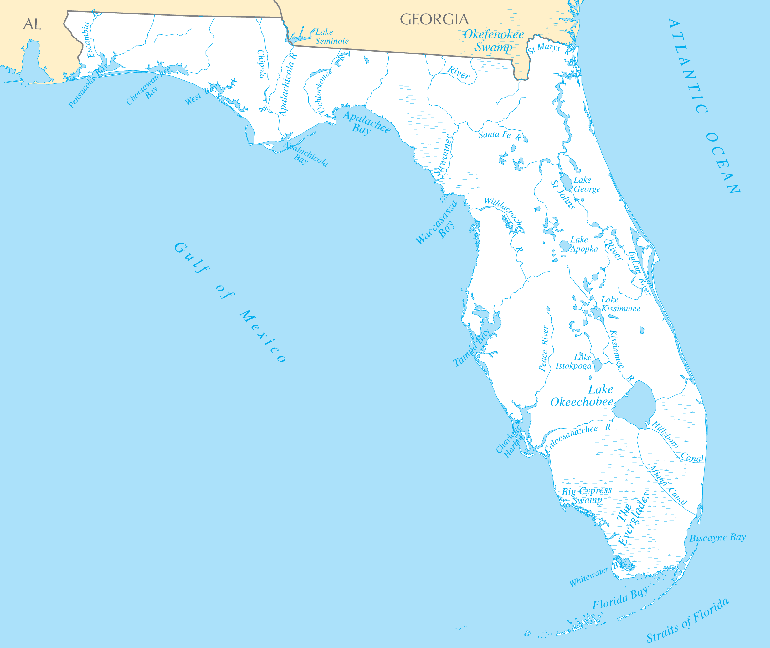
Click on the Florida Rivers And Lakes to view it full screen. File Type: PNG, File size: 161085 bytes (157.31 KB), Map Dimensions: 2460px x 2073px ( colors)
More Flórida Static Maps
Map of Florida Na 1
1200 x 927 - 123,328k - png
1888 Sfrr South
1800 x 3936 - 982,266k - jpg
Alachua County Florida
300 x 295 - 9,102k - png
Alafiarivermap
500 x 500 - 25,746k - png
Alapaharivermap
500 x 500 - 32,998k - png
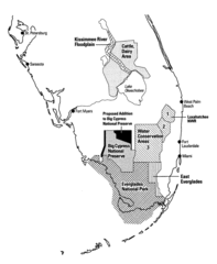
Altered Everglades Map
800 x 973 - 116,478k - gif
Aucillarivermap
500 x 500 - 32,476k - png
Baker County Florida
300 x 295 - 8,583k - png
Bay County Florida
300 x 295 - 8,931k - png
Blackwaterflrivermap
500 x 500 - 19,442k - png
Bradford County Florida
300 x 295 - 8,768k - png
Brevard County Florida
300 x 295 - 8,644k - png
Broward County Florida
300 x 295 - 8,824k - png
Calhoun County Florida
300 x 295 - 8,889k - png
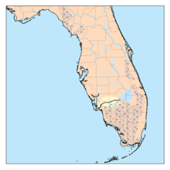
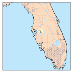
Caloosahatcheerivermap
500 x 500 - 23,007k - png
Charlotte County Florida
300 x 295 - 8,781k - png
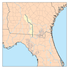
Chipolarivermap
500 x 500 - 28,029k - png
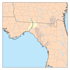
Choctawhatcheerivermap
500 x 500 - 27,441k - png
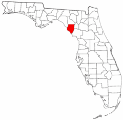
Citrus County Florida
300 x 295 - 8,962k - png
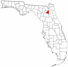
Clay County Florida
300 x 295 - 8,733k - png
Collier County Florida
300 x 295 - 8,788k - png
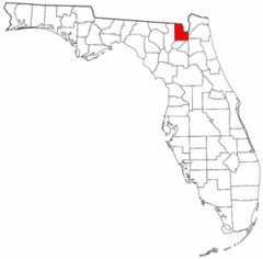
Columbia County Florida
300 x 295 - 8,829k - png
Conecuhrivermap
500 x 500 - 23,842k - png
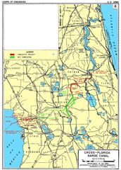
Cross Florida Barge Canal Acoe
1600 x 2237 - 421,936k - jpg
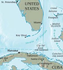
Cuba Florida Map
490 x 544 - 31,340k - jpg
Desoto County Florida
300 x 295 - 8,811k - png
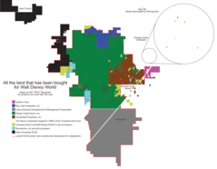
Disneylandbycompany
1619 x 1259 - 42,344k - png
Dixie County Florida
300 x 295 - 8,746k - png
Dry Tortugas50
1800 x 3779 - 375,846k - jpg
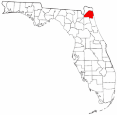
Duval County Florida
300 x 295 - 8,650k - png