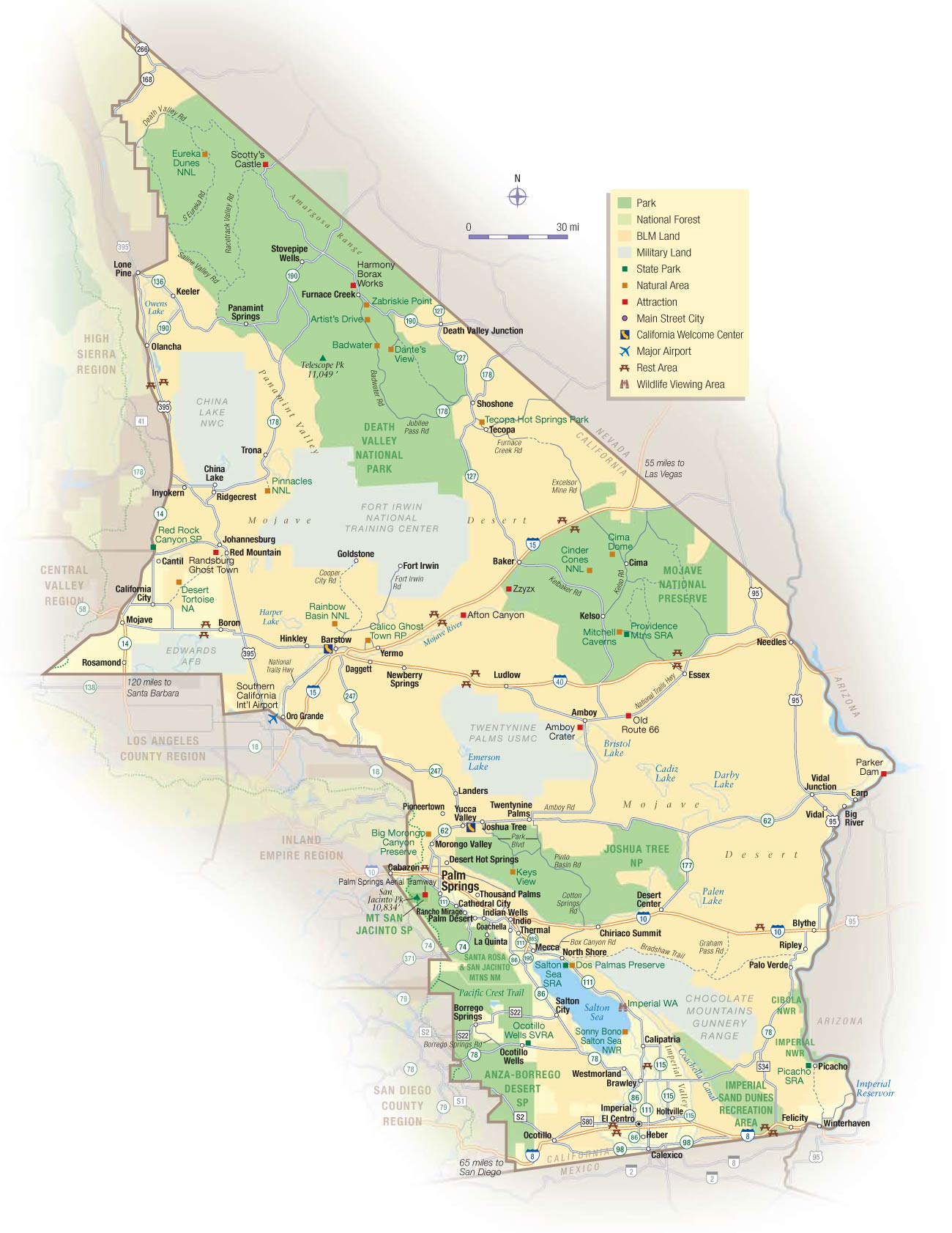
California Desert Map
California contains several arid desert regions, primarily located in the southeastern and southern areas of the state.
The Mojave Desert stretches across southeastern California as well as into Nevada, Arizona, and Utah. The Mojave covers arid plains and barren mountain ranges. Important locations include Death Valley, the lowest point in North America, as well as Edwards Air Force Base and China Lake Naval Air Weapons Station.
To the south is the Sonoran Desert, which extends from California into Arizona and Mexico. The unique Sonoran Desert landscape includes the Colorado Desert and Anza-Borrego Desert State Park, California's largest state park.
The smaller Great Basin Desert lies across eastern California, characterized by salt flats and sagebrush plains. Owens Valley runs through the Great Basin Desert.
In Southern California, the Colorado Desert portion of the Sonoran includes the below-sea-level Salton Sea as well as popular desert resort towns like Palm Springs. The unique landscape and desert climate make California's arid regions popular filming locations.
The deserts of California display unique topography, desert plants and wildlife, and important historical and recreational sites for visitors to explore California's dry landscapes. Protecting fragile desert ecosystems continues to be an important issue in California.
More California Static Maps
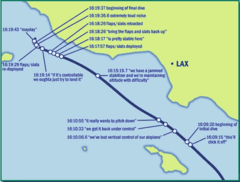
Alaska Airlines Flight 261 Path
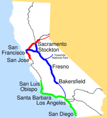
Amtrak California Simplified Map
Area Codes Ca
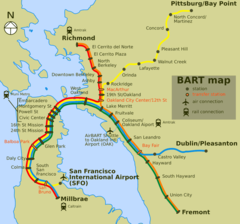
Bart Map
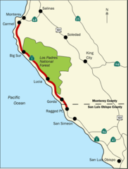
Bigsurmap
Blueca
Ca District 50 Location
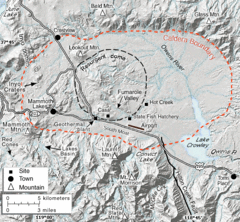
Calderarelief Large
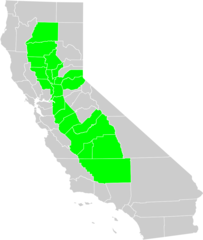
California Central Valley County Map

California Centralvalley County Map
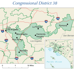
California District 38 2004
California Locator Map With Us
California Locator Map
California Map Showing San Francisco County
California Map
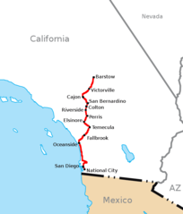
California Southern Railroad Route Map
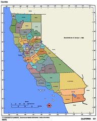
California Counties 300
California Counties Map1
California County Map (alameda County Highlighted)
California County Map (alpine County Highlighted)
California County Map (amador County Highlighted)
California County Map (butte County Highlighted)
California County Map (calaveras County Highlighted)
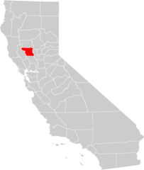
California County Map (colusa County Highlighted)
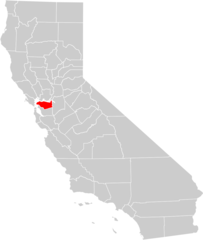
California County Map (contra Costa County Highlighted)
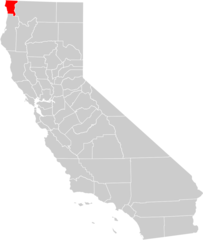
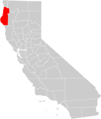
California County Map (del Norte County Highlighted)
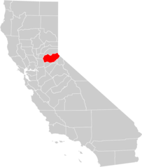
California County Map (el Dorado County Highlighted)
California County Map (fresno County Highlighted)
California County Map (glenn County Highlighted)