Bihar State of (State of Bihār), Bihar
Bihar State of:
About
State Snapshot
State of Bihār at a glance
State of Bihār currently has 68 quality-checked populated place pages and 11 county pages linked on MapSof.
Mapped cities & towns
68
These counts use a stricter populated-place filter so the main lists stay focused on real city and town pages.
County pages
11
Open related pagesLargest city
PatnaPopulation 1,599,920
Top linked places
Quick Facts about State of Bihār
| State | Bihar (India) |
| Latitude & Longitude | 25.7500,85.7500 |
| Time Zone | Asia/Kolkata |
| Local time | 02:08:08 (10th June 2026) |
Geography
State of Bihār is located at 25°45'0"N 85°45'0"E (25.7500000, 85.7500000).
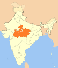
Bihar State of map
The largest city of State of Bihār is Bhāgalpur with a population of 361,548. Other cities include, Muzaffarpur population 333,200, Saharsa population 145,764, Hājīpur population 133,606 and Siwān population 119,181. See all State of Bihār cities & populated places.
Map & Images (more maps)
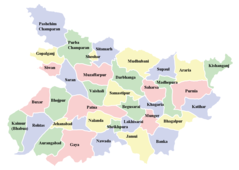
Cities Map of Bihar
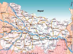
Detailed Map of Bihar
Historical Map of Tamil Nadu
Location Map of Bhopal
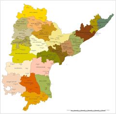
Political Map of Andhra Pradesh
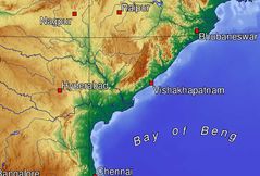
Topographic Map of Andhra Pradesh