Aosta, Aosta Valley
Aosta: Italian comune
About
Quick Facts about Aosta
| Population | 34,082 |
| Country | Italy |
| State | Aosta Valley (Italy) |
| County | Valle d'Aosta |
| Postal code | 11100 |
| Plate code | AO |
| Phone Area Codes | 0165 |
| Official name | Aoste, Aosta |
| Easternmost point | Point(7.347951 45.7396384) |
| Northernmost point | Point(7.2615343 45.7726487) |
| Latitude & Longitude | 45.7376,7.3172 |
| Official language | French, Italian |
| Altitude | 1,913 feet / 583 meters |
| Capital city | Aosta is capital of Q87808676, Aosta Valley |
| Time Zone | UTC+02:00, UTC+01:00 |
| Local time | 02:40:04 (25th July 2026) |
Geography
Aosta is located at 45°44'16"N 7°19'2"E (45.7376400, 7.3172200). It has 4 neighbors: Pollein, Gressan, Charvensod and Gignod.
Aosta map
Click "full screen"  icon to open full mode. View satellite images
Official website of Aosta
Official Website- Albertville
- Chamonix-Mont-Blanc
- Kaolack
- Martigny
- Narbonne
- San Giorgio Morgeto
- Sinaia
Demographics
| Year | Population | % Change | Method |
|---|---|---|---|
| 2009 | 35,261 | - | demographic balance |
| 2016 | 34,324 | -2.73% | demographic balance |
| 2017 | 34,361 | 0.11% | demographic balance |
| 2018 | 34,082 | -0.82% | demographic balance |
AOT, Aoste, Aouta, Aoûta, Augusta Praetoria, aoseuta, aosuta, Аоста, אאוסטה, アオスタ, 아오스타
Map & Images (more maps)
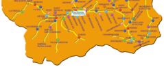
Aosta City Map
1141 x 467
- 126,221k -
png

City Map Aosta
1353 x 1321
- 219,028k -
png
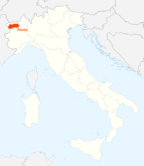
Location of Aosta Map
1338 x 1548
- 98,857k -
png
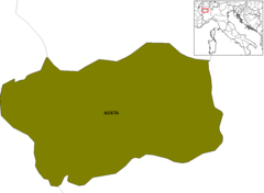
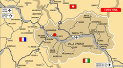
Provinces Map of Aosta
988 x 725
- 9,243k -
png
Valley Map Aosta
1353 x 1321
- 219,028k -
png
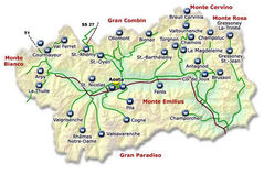
Aosta Valley Map 3
1078 x 652
- 74,996k -
jpg
Aosta Valley Map 2 3
800 x 560
- 90,340k -
jpg
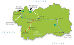
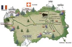
Aosta Valley Tourism Map
650 x 430
- 71,589k -
jpg
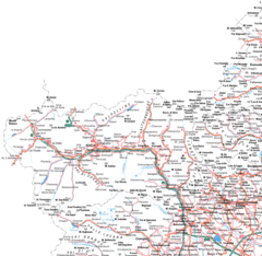
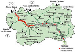
Aosta Valley Transport Map
700 x 390
- 71,204k -
jpg
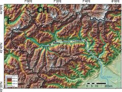
Physical Map Aosta
2000 x 1505
- 629,343k -
jpg
Tourism Map of Aosta
600 x 390
- 57,308k -
jpg