Gurage Adm
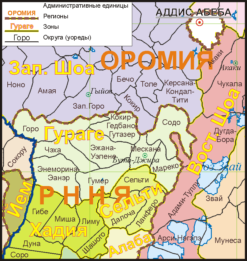
Click on the Gurage Adm to view it full screen. File Type: png, File size: 41248 bytes (40.28 KB), Map Dimensions: 807px x 853px (256 colors)
More Federal Democratic Republic of Ethiopia Static Maps
000 Etiopia Harta
330 x 355 - 7,538k - png
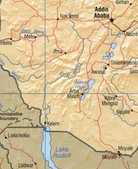
At1008 Map
1084 x 844 - 8,379k - png

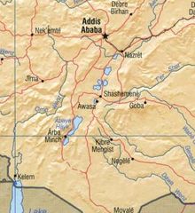
At1313 Map
657 x 844 - 6,763k - png
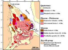
Afargeology
1800 x 1340 - 184,792k - jpg
Corvus Crassirostris Map
700 x 382 - 51,530k - jpg
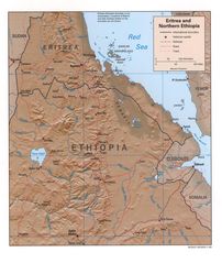
Eritrea Ethiopia Rel99
1070 x 1268 - 329,266k - jpg
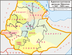
Ethiop Adm 1987 Ru
1486 x 1149 - 38,242k - png
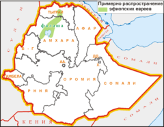
Ethiop Falasha
1486 x 1149 - 33,672k - png
Ethiopia Map Omo
324 x 397 - 34,447k - jpg
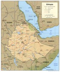
Ethiopia Map
1010 x 1215 - 227,536k - jpg
Ethiopia Map1
338 x 368 - 33,016k - jpg
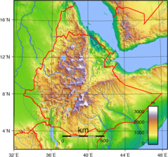
Ethiopia Topography
950 x 890 - 431,099k - png
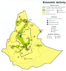
Ethiopia Econ 1976
771 x 828 - 141,526k - jpg
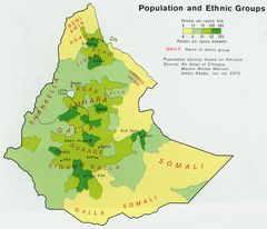
Ethiopia Pop 1976
828 x 711 - 139,047k - jpg
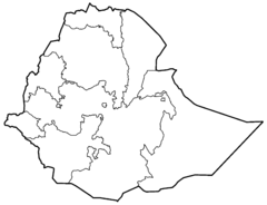
Ethiopia Regions Blank
2000 x 1535 - 20,737k - png
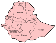
Ethiopia Regions English
750 x 576 - 21,367k - png
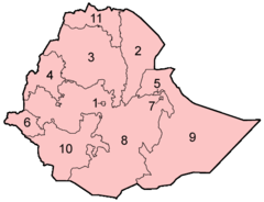
Ethiopia Regions Numbered
500 x 384 - 10,749k - png
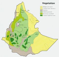
Ethiopia Veg 1976
746 x 720 - 124,294k - jpg

Ethiopia Addis Ababa
300 x 230 - 5,516k - png
Ethiopia Afar
300 x 230 - 5,246k - png
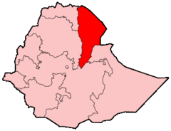
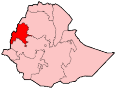
Ethiopia Amhara
300 x 230 - 5,240k - png
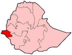
Ethiopia Benshangul Gumaz
300 x 230 - 5,232k - png

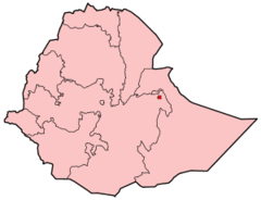
Ethiopia Dire Dawa
300 x 230 - 5,523k - png
Ethiopia Gambela
300 x 230 - 5,240k - png
Ethiopia Harari
300 x 230 - 5,521k - png
Ethiopia Oromia
300 x 230 - 5,242k - png
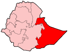
Ethiopia Somali
300 x 230 - 5,198k - png
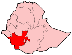
Ethiopia Southern Nations, Nationalities And Peoples
300 x 230 - 5,226k - png
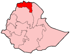
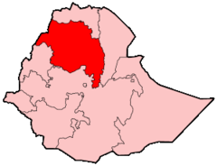
Ethiopia Tigray
300 x 230 - 5,195k - png
Ethiopia Admin Ru
1486 x 1149 - 32,075k - png