Canberra (Canberra International Airport), Australian Capital Territory
Canberra:
About
Quick Facts about Canberra International Airport
| State | Australian Capital Territory (Australia) |
| Latitude & Longitude | -35.3069,149.1950 |
| Time Zone | Australia/Sydney |
| Local time | 22:20:59 (1st June 2026) |
Geography
Canberra International Airport is located at 35°18'25"S 149°11'42"E (-35.3069400, 149.1950000).
Canberra map
Click "full screen"  icon to open full mode. View satellite images
CBR, Canberra Airport, YSCB
Map & Images (more maps)
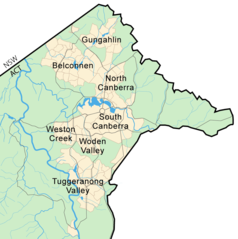
Canberra Map
800 x 804
- 58,302k -
png
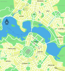
City Central Map of Canberra
1100 x 1200
- 126,791k -
png
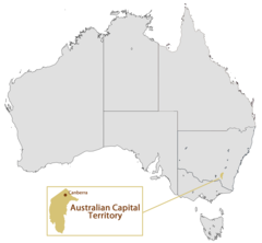
Location Map of Canberra
1493 x 1380
- 55,359k -
png
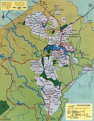
Map of Canberra
754 x 974
- 156,528k -
jpg