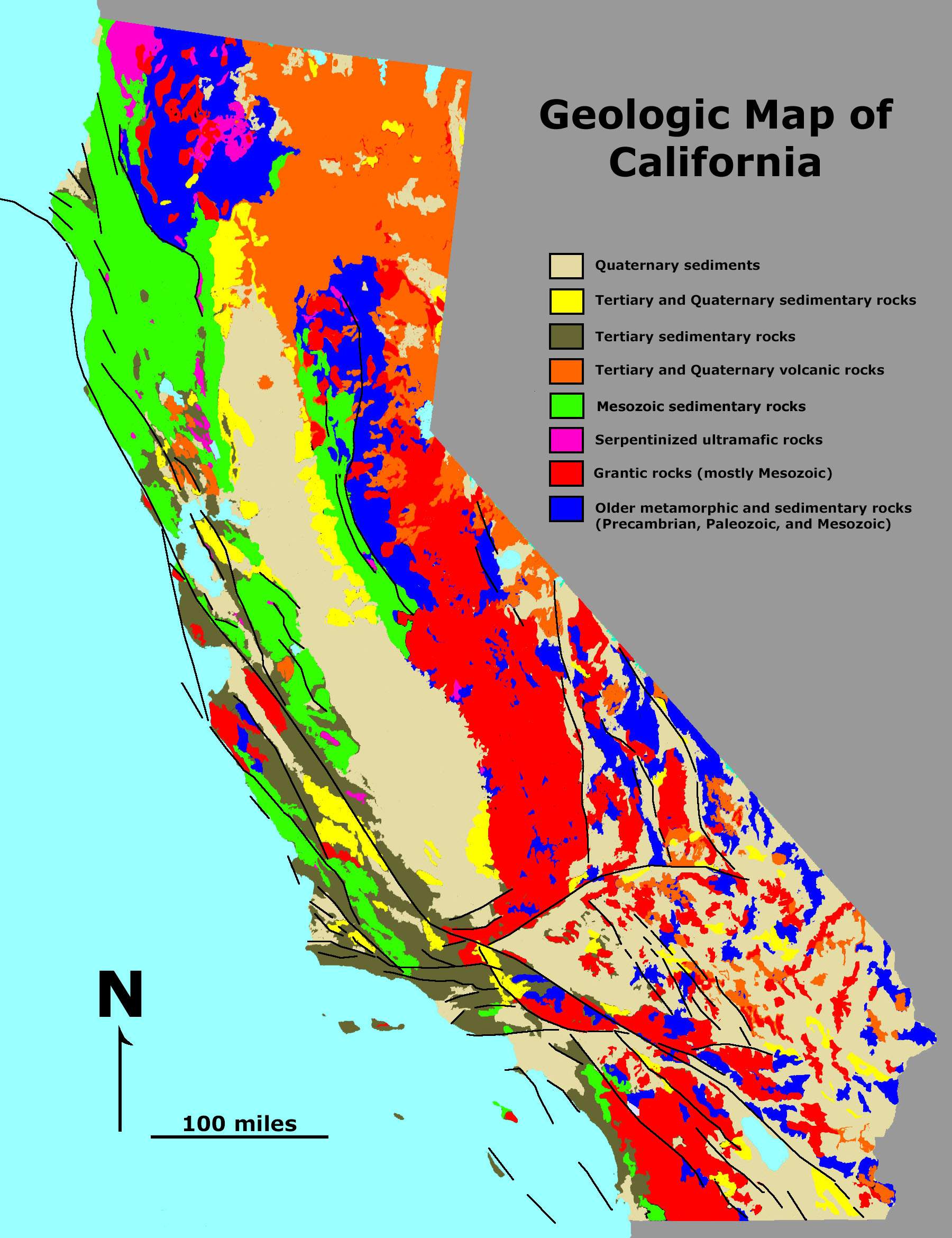
Geologic Map California
California's dramatic and varied landscape stems from complex geological forces.
The Sierra Nevada
The Sierra Nevada mountain range runs north-south along California's eastern border. It was formed by plate tectonic uplift and includes peaks like Mt. Whitney.
San Andreas Fault
The San Andreas Fault zone is where the Pacific and North American plates grind past each other. This transform boundary triggers earthquakes like the 1906 San Francisco quake.
Coast Ranges
The Coast Ranges run along California's length, with the Transverse Ranges in Southern California. Folding and uplift created these steep coastal mountains.
Central Valley
The Central Valley is a vast flat valley encompassing the Sacramento and San Joaquin River valleys between coastal and Sierra Nevada ranges.
Mojave Desert
The Mojave Desert spans California's southeast corner. This rain-shadow desert features low mountains, playas, and sparse vegetation.
California's landscapes showcase the tectonic forces that continue to shape the state, with seismic activity and erosion sculpting its terrain over time.
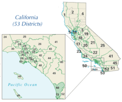
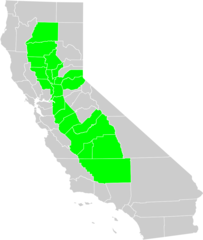
More California Static Maps
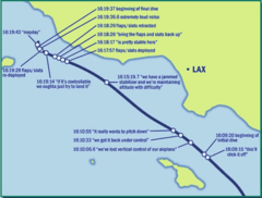
Alaska Airlines Flight 261 Path
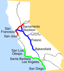
Amtrak California Simplified Map
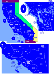
Area Codes Ca
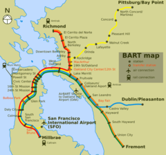
Bart Map
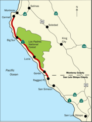
Bigsurmap
Blueca
Ca District 50 Location
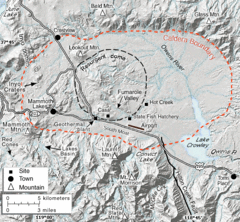
Calderarelief Large
California Central Valley County Map

California Centralvalley County Map
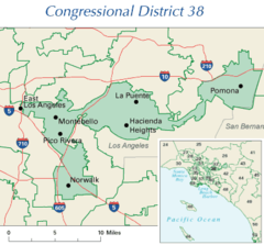
California District 38 2004
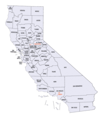
California Locator Map With Us
California Locator Map
California Map Showing San Francisco County
California Map
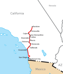
California Southern Railroad Route Map
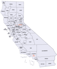
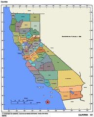
California Counties 300
California Counties Map1
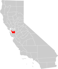
California County Map (alameda County Highlighted)
California County Map (alpine County Highlighted)
California County Map (amador County Highlighted)
California County Map (butte County Highlighted)
California County Map (calaveras County Highlighted)
California County Map (colusa County Highlighted)
California County Map (contra Costa County Highlighted)
California County Map (del Norte County Highlighted)
California County Map (el Dorado County Highlighted)
California County Map (fresno County Highlighted)
California County Map (glenn County Highlighted)