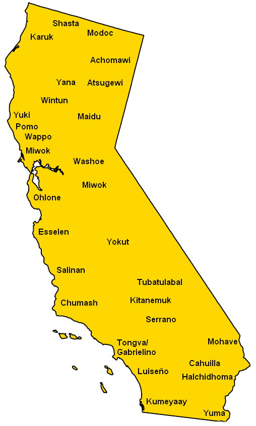
California Tribes
California was home to one of the largest Native American populations in North America prior to European settlement.
The Chumash
The Chumash inhabited the central and southern coastal regions of California. They were known for their craftsmanship and use of shell bead currency.
The Pomo
The Pomo resided in northern California areas like Clear Lake. They were hunter-gatherers and basket weavers who lived in tribelets.
The Miwok
The Miwok were among the largest groups in California with four main tribes: the Coast Miwok, Lake Miwok, Bay Miwok, and Interior Miwok. They were skilled fishermen.
The Tongva
Also called the Gabrieleño, the Tongva tribe inhabited the Los Angeles basin and southern coastal area. Their first contact with Europeans was in 1542.
The Nisenan
The Nisenan or Southern Maidu occupied the northern Sierra Nevada region. They practiced controlled burning of woodlands and were renowned basket makers.
Though decimated by disease and conflict, many California tribal groups persevered and maintain their cultural identities today.
More California Static Maps
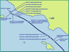
Alaska Airlines Flight 261 Path
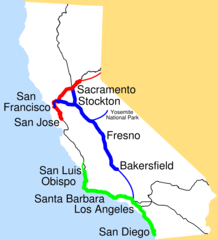
Amtrak California Simplified Map
Area Codes Ca
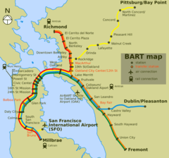
Bart Map
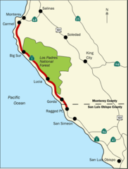
Bigsurmap
Blueca
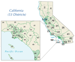
Ca District 50 Location
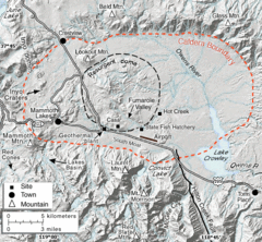
Calderarelief Large
California Central Valley County Map

California Centralvalley County Map
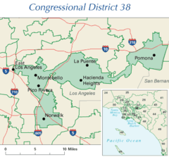
California District 38 2004
California Locator Map With Us
California Locator Map
California Map Showing San Francisco County
California Map
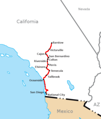
California Southern Railroad Route Map
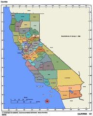
California Counties 300
California Counties Map1
California County Map (alameda County Highlighted)
California County Map (alpine County Highlighted)
California County Map (amador County Highlighted)
California County Map (butte County Highlighted)
California County Map (calaveras County Highlighted)
California County Map (colusa County Highlighted)
California County Map (contra Costa County Highlighted)
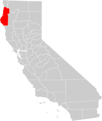
California County Map (del Norte County Highlighted)
California County Map (el Dorado County Highlighted)
California County Map (fresno County Highlighted)
California County Map (glenn County Highlighted)