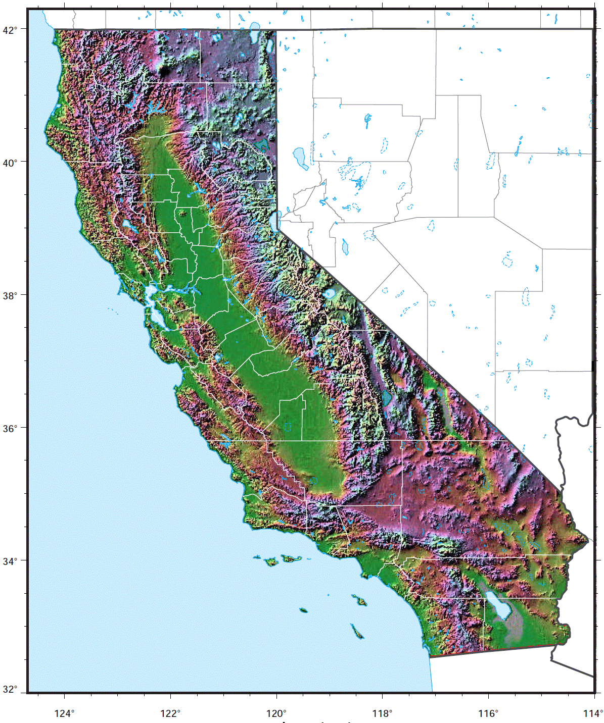
California Relief Map
California's relief variation contributes to its incredible ecological diversity.
The Sierra Nevada
The Sierra Nevada mountain range forms an imposing wall along California's eastern border. It contains the highest peak in the lower 48, Mt. Whitney, at 14,505 ft.
Pacific Coast Ranges
Running parallel to the Pacific Ocean, the Coast Ranges create a rugged, folded landscape of steep ridges and valleys.
San Joaquin Valley
The flat San Joaquin Valley in central California provides fertile farmland and drainage for the San Joaquin River system.
Mojave Desert
The hot, dry Mojave Desert covers southeast California, containing arid features like playas, alluvial fans, and salt flats.
Klamath Mountains
The Klamath Mountains span the California-Oregon border, characterized by highly eroded peaks, rivers, and narrow canyons.
Central Valley
The flat, expansive Central Valley stretches down the interior between the Coast Ranges and Sierra Nevada range.
California contains incredible ecological diversity thanks to its vast relief variations from high mountains to low coastal plains and deserts.
More California Static Maps
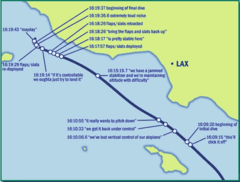
Alaska Airlines Flight 261 Path
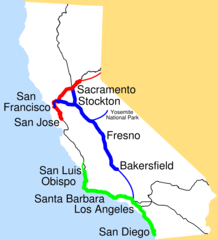
Amtrak California Simplified Map
Area Codes Ca
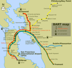
Bart Map
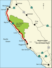
Bigsurmap
Blueca
Ca District 50 Location
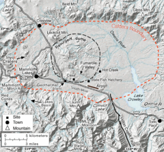
Calderarelief Large
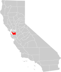
California Central Valley County Map

California Centralvalley County Map
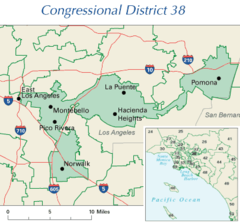
California District 38 2004
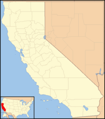
California Locator Map With Us
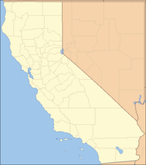
California Locator Map
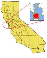
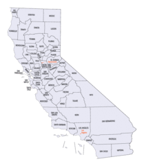
California Map Showing San Francisco County
California Map
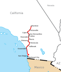
California Southern Railroad Route Map
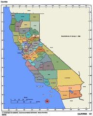
California Counties 300
California Counties Map1
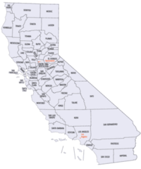
California County Map (alameda County Highlighted)
California County Map (alpine County Highlighted)
California County Map (amador County Highlighted)
California County Map (butte County Highlighted)
California County Map (calaveras County Highlighted)
California County Map (colusa County Highlighted)
California County Map (contra Costa County Highlighted)
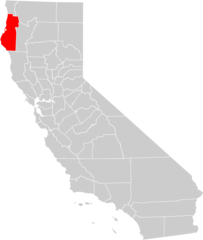
California County Map (del Norte County Highlighted)
California County Map (el Dorado County Highlighted)
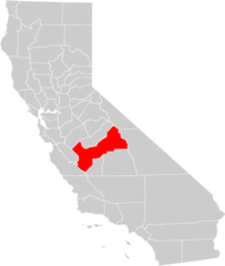
California County Map (fresno County Highlighted)
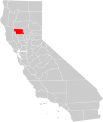
California County Map (glenn County Highlighted)