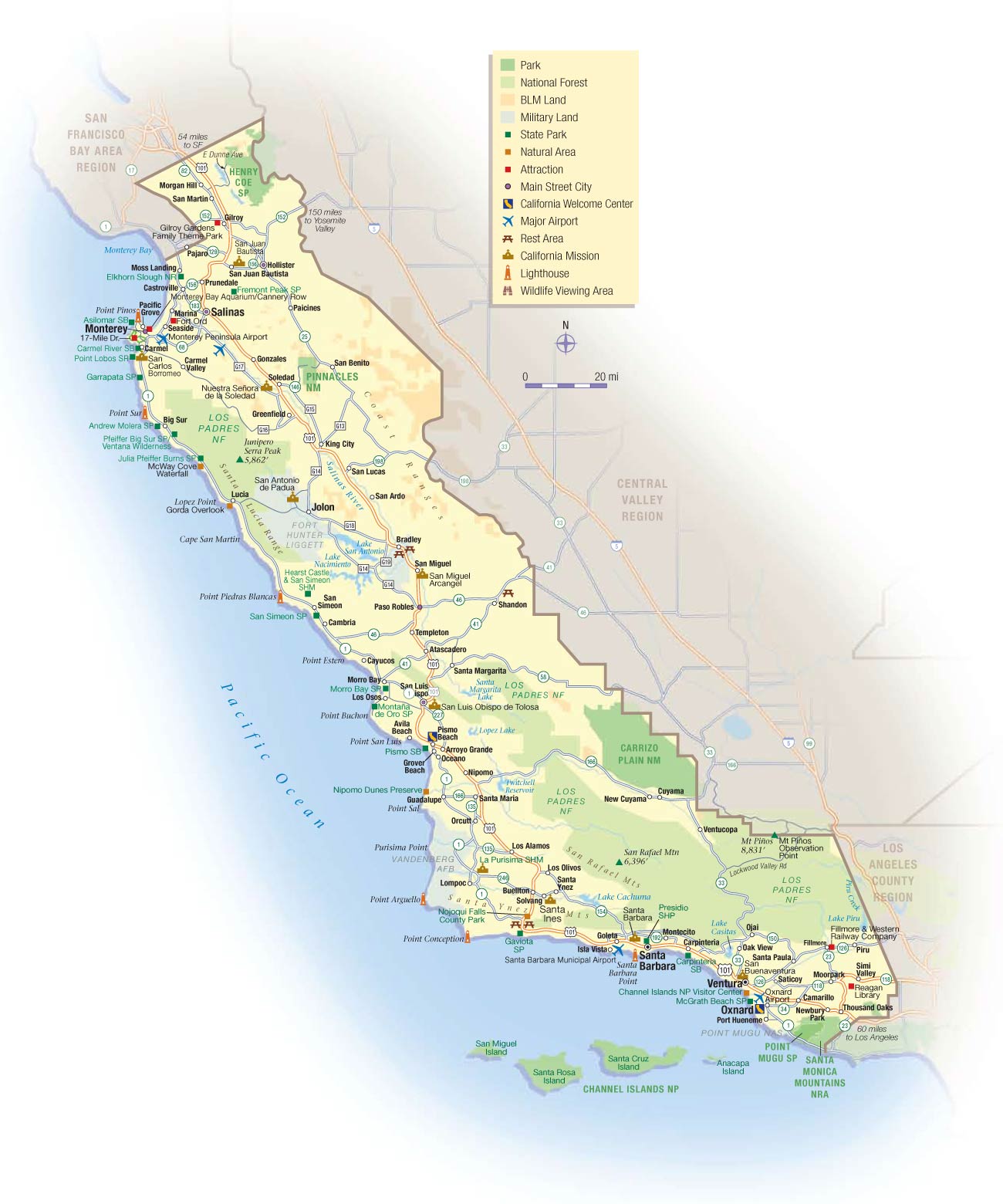
California Central Coast Map
The Central Coast region spans the central California coastline from Santa Cruz down to Santa Barbara.
Monterey Bay
It is home to the scenic Monterey Bay, with Monterey and Santa Cruz on its shores. The Monterey Bay Aquarium is a major attraction.
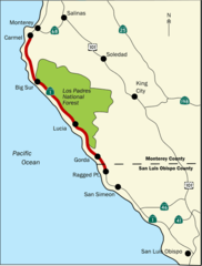
Big Sur Coastline
The region contains the famed Big Sur coastal region with its rugged cliffs, seaside redwoods, and panoramic Pacific views.
Agricultural Valleys
Inland valleys and hills produce crops like artichokes, Brussels sprouts, and berries in the Salinas and Pajaro Valleys.
Santa Barbara
Santa Barbara is a beautiful coastal city known for Spanish architecture, wineries, and beaches.
Cal Poly San Luis Obispo
Cal Poly SLO is a major university located just inland from the coast in San Luis Obispo.
With breathtaking seascapes, productive farmland, and charming towns, California's central coast encapsulates the state's natural beauty and agricultural bounty.
More California Static Maps
Alaska Airlines Flight 261 Path
Amtrak California Simplified Map
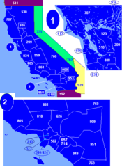
Area Codes Ca
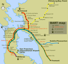
Bart Map
Bigsurmap
Blueca
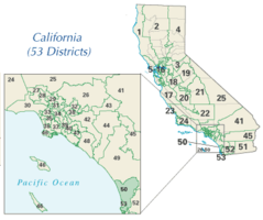
Ca District 50 Location
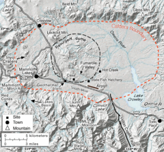
Calderarelief Large
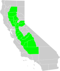
California Central Valley County Map

California Centralvalley County Map
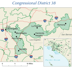
California District 38 2004
California Locator Map With Us
California Locator Map
California Map Showing San Francisco County
California Map
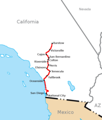
California Southern Railroad Route Map
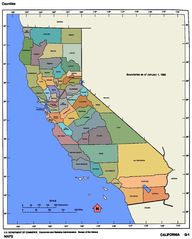
California Counties 300
California Counties Map1
California County Map (alameda County Highlighted)
California County Map (alpine County Highlighted)
California County Map (amador County Highlighted)
California County Map (butte County Highlighted)
California County Map (calaveras County Highlighted)
California County Map (colusa County Highlighted)
California County Map (contra Costa County Highlighted)
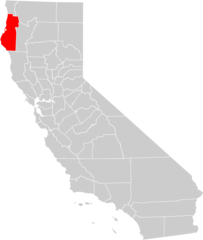
California County Map (del Norte County Highlighted)
California County Map (el Dorado County Highlighted)
California County Map (fresno County Highlighted)
California County Map (glenn County Highlighted)