Central Europe Political Map
The Central Europe political map depicts the countries in the central geographical region of the European continent.
Countries
The major countries located in Central Europe include:
- Germany - Most populous and economically powerful country in the region.
- Poland - Large country bordering the Baltic Sea to the north.
- Czech Republic - Landlocked country comprised of Bohemia and Moravia.
- Slovakia - Smaller landlocked country bordering the Czech Republic.
- Austria - German-speaking Alpine country.
- Hungary - Landlocked nation in the Carpathian Basin.
- Switzerland - Known for the Alps mountains and neutral foreign policy.
Capitals
The capital cities of Central European countries are:
- Berlin (Germany)
- Warsaw (Poland)
- Prague (Czech Republic)
- Bratislava (Slovakia)
- Vienna (Austria)
- Budapest (Hungary)
- Bern (Switzerland)
Geography
Central Europe contains several major geographical features like the Alps, Carpathian Mountains, and Danube River. The region serves as a bridge between Western and Eastern Europe.
In summary, the Central Europe political map provides an overview of the countries, capitals, borders, and terrain comprising this culturally and economically significant European subregion.
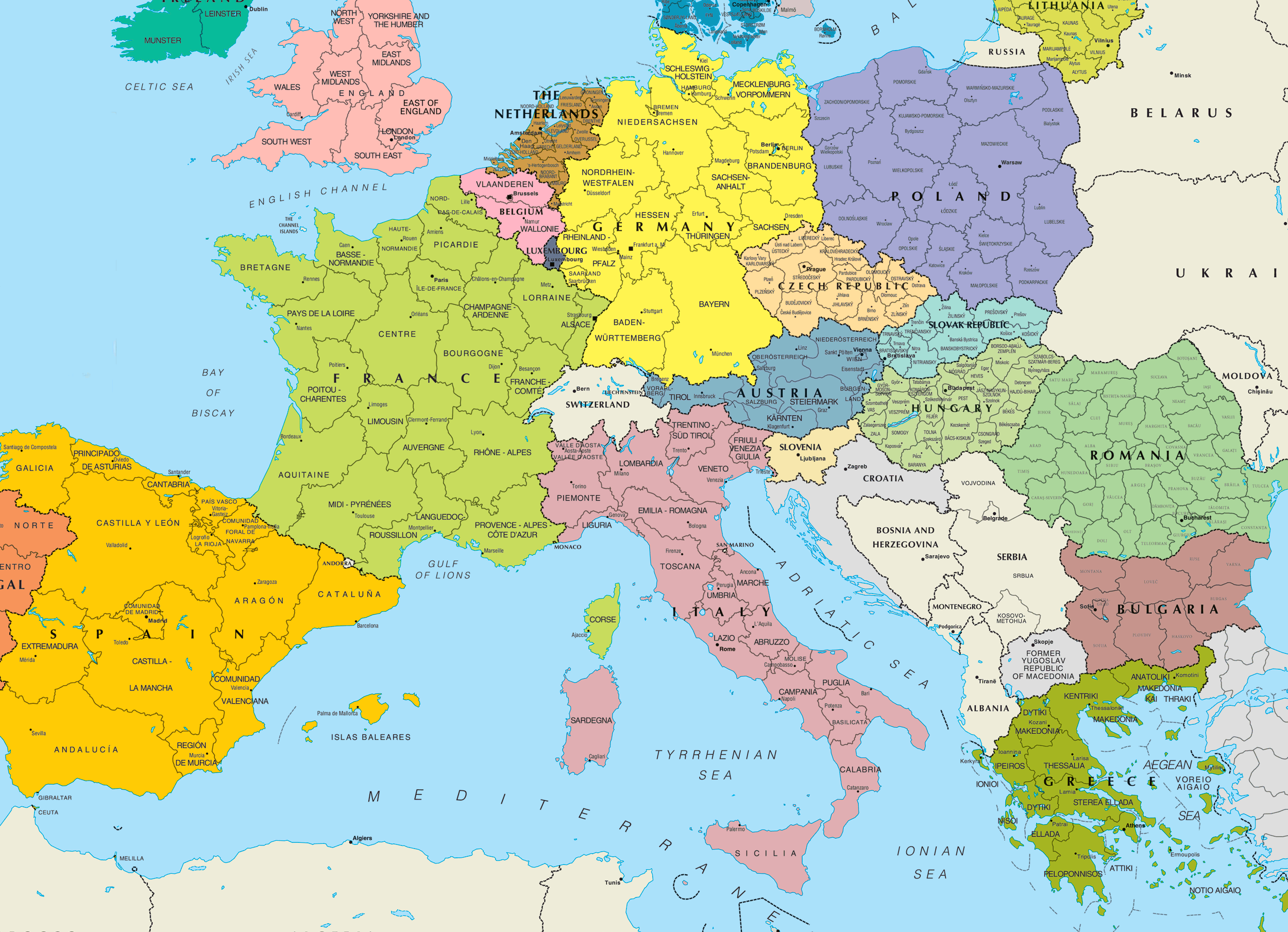
Click on the Central Europe Political Map to view it full screen. File Type: png, File size: 567235 bytes (553.94 KB), Map Dimensions: 2500px x 1809px (256 colors)
More Europe Static Maps
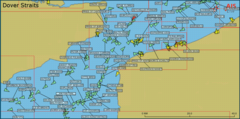
Ais Manche Est
925 x 459 - 46,105k - png
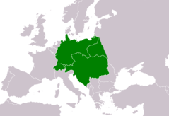
Aaker Central Europa
805 x 553 - 9,741k - png
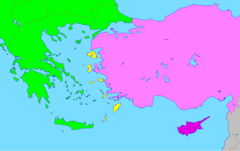
Aegeanislands
1276 x 804 - 18,635k - png
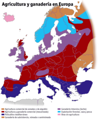
Agricultura Ganaderia Europa
1242 x 1535 - 64,759k - png
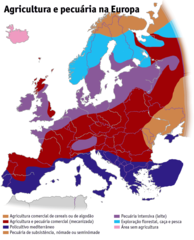
Agricultura Pecuaria Europa Pt
1242 x 1535 - 64,046k - png
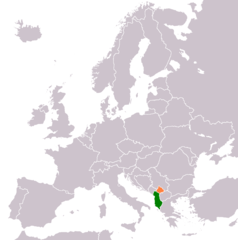
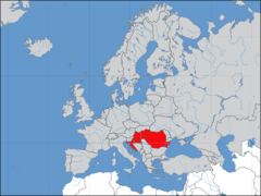
Albania Kosovo Locator
1236 x 1245 - 28,901k - png
Alcohol Belt
1200 x 1000 - 25,308k - png
Aprs Benelux
969 x 657 - 181,142k - jpg
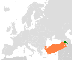
Armenia Turkey Locator
1200 x 1000 - 24,967k - png
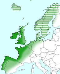
Atlantic Europe
712 x 880 - 56,593k - jpg
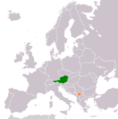
Austria Kosovo Locator
1236 x 1245 - 28,749k - png
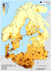
Baltic Pop Density 2
500 x 702 - 136,153k - gif
Baptists In Europe
912 x 976 - 55,868k - png
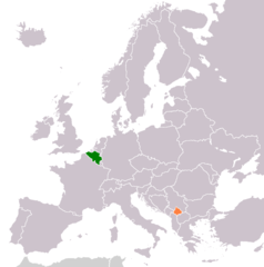
Belgium Kosovo Locator
1236 x 1245 - 28,711k - png
Blankmap Europe2 Coloured
800 x 487 - 20,947k - png
Blankmap Europe2
800 x 487 - 33,410k - png
Blaue Banane
767 x 534 - 13,116k - png
Blue Banana
767 x 534 - 13,110k - png
Bricorstore Location
1600 x 1200 - 123,201k - png
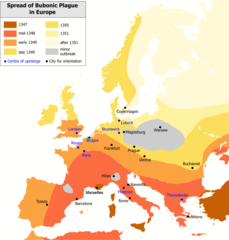
Bubonic Plague Map 2
1000 x 1048 - 38,505k - png
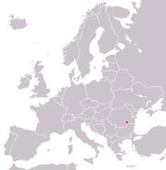
Bucarest In Europe Map
1218 x 1245 - 28,604k - png
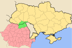
Bucovina Romania Ukraine
1266 x 850 - 45,941k - png
Bulgaria Kosovo Locator
1236 x 1245 - 28,723k - png
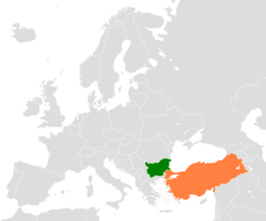
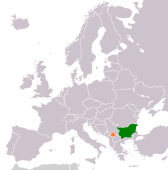
Bulgaria Turkey Locator
1200 x 1000 - 24,689k - png
Cia Western Europe Map
415 x 422 - 5,735k - png
Cia Western Europe Map2
415 x 422 - 5,909k - png
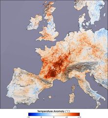
Canicule Europe 2003
540 x 586 - 50,851k - jpg
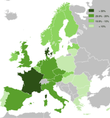
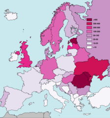
Cannabis Use Among Adults (aged 15 64)
912 x 976 - 50,658k - png
Carte Continent Europe
920 x 598 - 22,693k - png
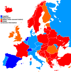
Carteeuropecannabismedical
1236 x 1245 - 54,493k - gif