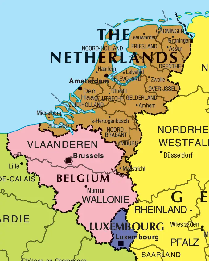
Benelux Map
The Benelux refers to an economic union between three neighboring countries in Western Europe: Belgium, the Netherlands, and Luxembourg. Examining the Benelux map provides insight into these connected nations.
Belgium
- Belgium is divided into three regions: Flanders, Wallonia, and Brussels.
- The capital and largest city is Brussels, which also serves as capital of the EU.
- Other major cities include Antwerp, Ghent, Charleroi, and Liège.
Netherlands
- The capital of the Netherlands is Amsterdam.
- Major cities include Rotterdam, The Hague, and Utrecht.
- Much of the land is below sea level, protected by dikes and dunes.
Luxembourg
- Luxembourg is a small, landlocked country, though one of the wealthiest in Europe.
- The capital and largest city is Luxembourg City.
- Luxembourg has historically been linked to Belgium and the Netherlands.
Transportation
- An integrated highway system connects the three countries.
- High-speed rail links major cities in the Benelux region.
In summary, the Benelux map depicts these three small but economically vital Western European nations united through commerce, infrastructure, history and government cooperation.