London Railway Map
As a massive global city, London has an extensive public transport network. Examining the London railway map provides insight into the connectivity within the metro area.
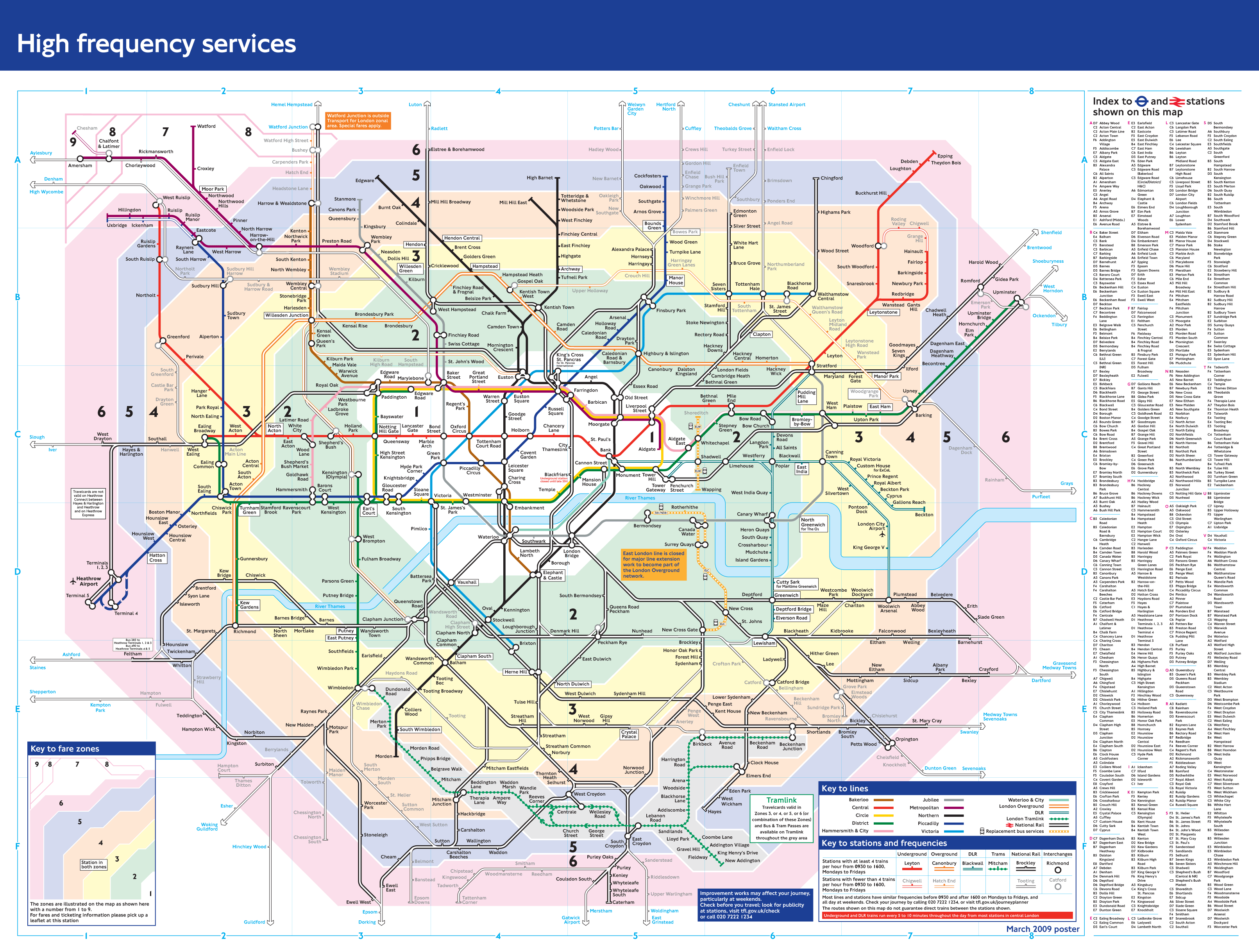
Tube Lines
The London Underground or "Tube" has 11 main lines:
- Circle Line, Central Line, Victoria Line - Inner city lines forming a ring topology.
- Northern Line, Jubilee Line - North-south lines through central London.
- District Line, Hammersmith & City Line - East-west lines through central London.
- Metropolitan Line - Connects central London with suburbs northwest of the city.
- Piccadilly Line, Bakerloo Line - Lines connecting northeast and southwest London.
Docklands Light Railway
The automated Docklands Light Railway serves redeveloped east London neighborhoods like Canary Wharf.
Commuter Rail
National Rail commuter lines like the West Anglia Main Line connect outer boroughs with central London terminals like Liverpool Street Station.
High-Speed Rail
High Speed 1 provides high-speed rail links under the Channel Tunnel between London St. Pancras Station and continental Europe.
In summary, the London railway map showcases the city's extensive transit network that connects Greater London neighborhoods and provides links to the broader United Kingdom and Europe.