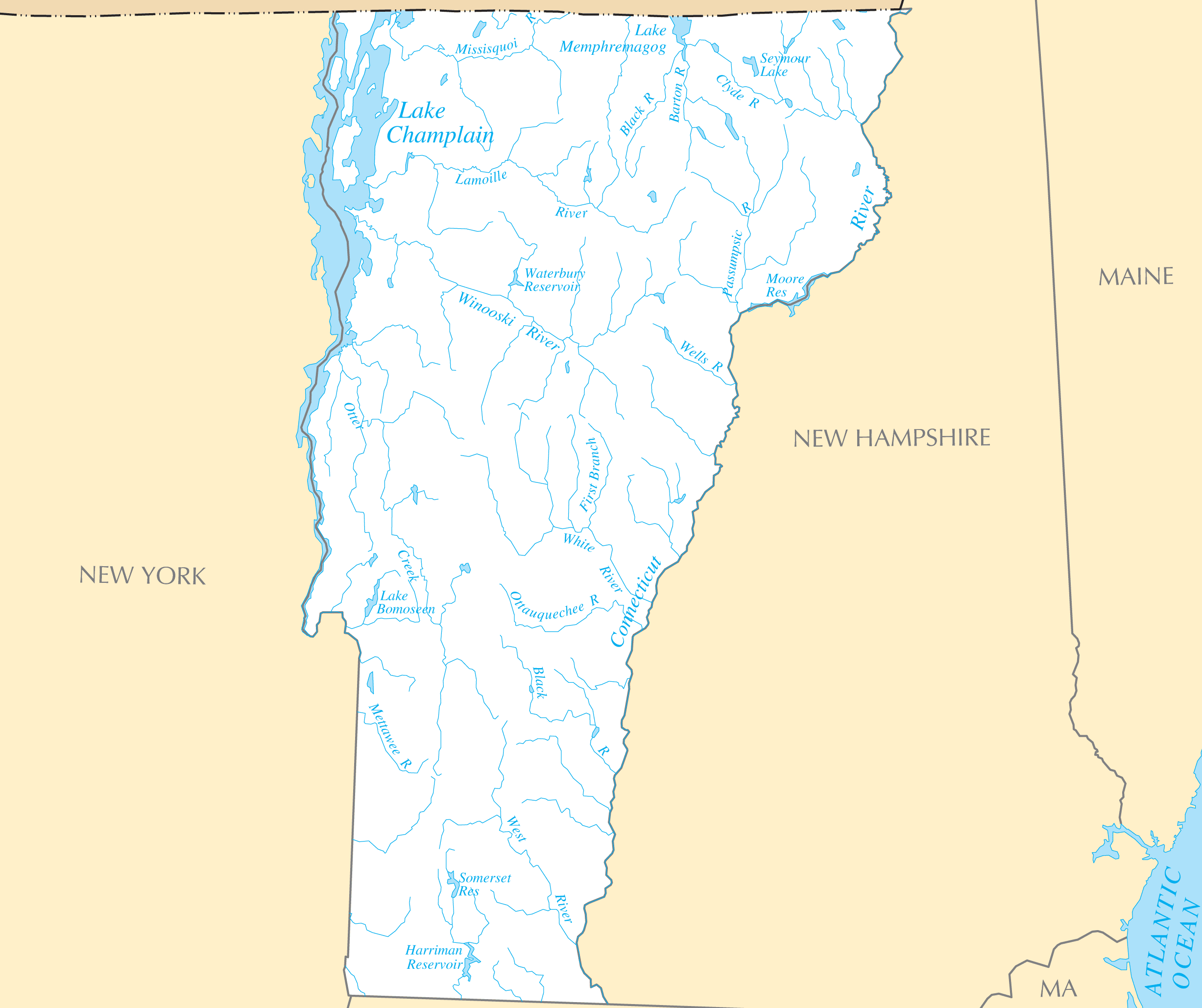
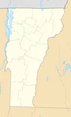
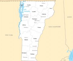
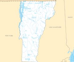
Vermont Rivers And Lakes
Vermont's rivers provided energy for industry and transport for trade.
The Connecticut River
The Connecticut River forms the eastern border with New Hampshire. It was an early trade route and powered mill towns.
Lake Champlain
Lake Champlain spans the north between Vermont and New York. Trade flowed through major ports like Burlington on the lake.
Otter Creek
Otter Creek runs through central Vermont, supplying water power for mills and manufacturing sites like Vergennes and Middlebury.
Glacial Lakes
Vermont has an abundance of scenic glacial lakes nestled within the mountains and valleys.
Lake Willoughby
Lake Willoughby is a deep glacial lake located in Vermont's Northeast Kingdom region. It is known for its pristine beauty.
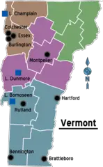
Lake Bomoseen
Lake Bomoseen in the western part of the state is a popular recreational lake for boating, fishing, and swimming.
Lake St. Catherine
Lake St. Catherine in southern Vermont draws visitors to enjoy its crystal clear waters and state park beach.
Vermont's water resources fueled early industry but also provide celebrated natural beauty. Protecting lakes and rivers remains a priority.
More Vermont Static Maps
Map of Vermont Na 1
Map of Vermont Regions
Usa Vermont Location Map
Vermont Flag Map
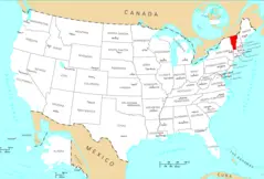
Where Is Vermont Located
Vermont Cities And Towns
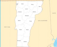
Vermont County Map
Vermont Rivers And Lakes
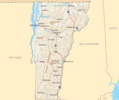
Vermont Reference Map