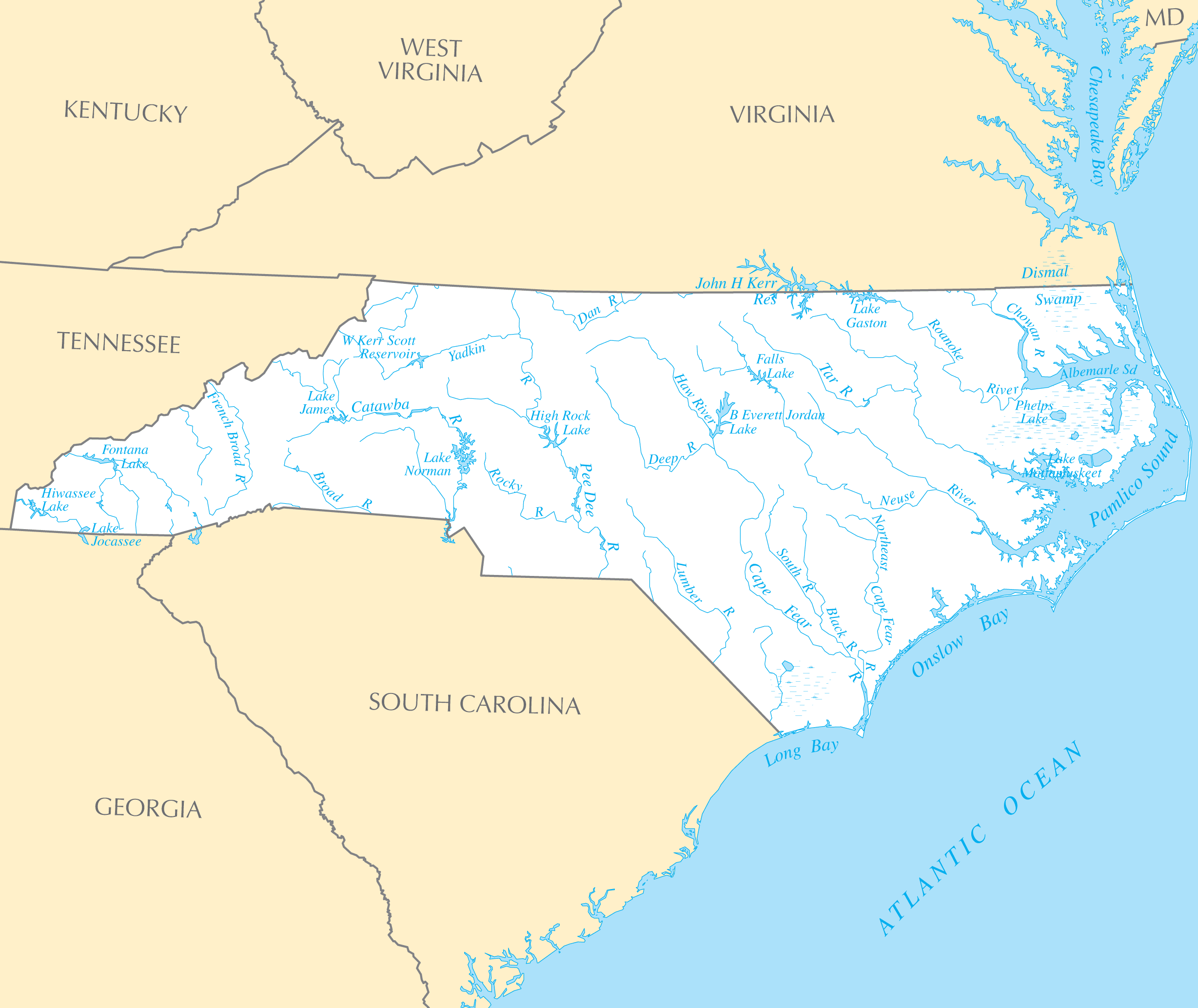
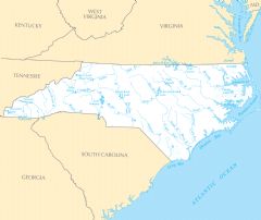
North Carolina Rivers And Lakes
North Carolina's early settlement patterns emerged along its key rivers.
The Cape Fear River
The port city of Wilmington prospered because of its strategic location along the Cape Fear River in southeastern North Carolina.
The Neuse and Tar Rivers
The Neuse and Tar Rivers flow through the Coastal Plain region into the Pamlico Sound. They enabled trade and travel to cities like Raleigh, Rocky Mount, and Greenville.
The French Broad River
The French Broad River flows from the Appalachian Mountains through Asheville in the state's western region. It attracted early pioneer settlers.
The Outer Banks
The fragile ribbon of islands along North Carolina's coast drew initial settlers as well as modern tourists.
The Outer Banks
The remote Outer Banks islands have always presented challenges alongside their incredible beauty. Tourism, fishing, and shipping thrive in this unique coastal environment.
North Carolina's rivers tell the story of early settlement and continue to provide economic value. Preserving water quality and fragile ecosystems remains an ongoing effort.
More North Carolina Static Maps
Map of North Carolina Na 1
Usa North Carolina Location Map

North Carolina Flag Map
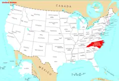
Where Is North Carolina Located
North Carolina Cities And Towns
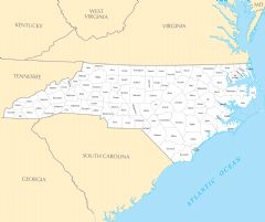
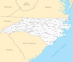
North Carolina County Map
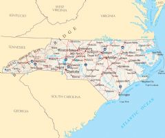
North Carolina Reference Map
North Carolina Rivers And Lakes