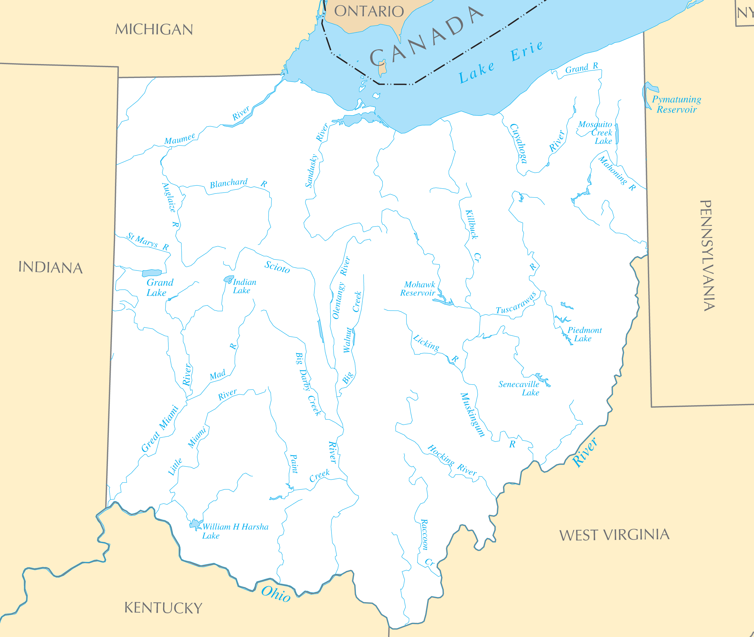
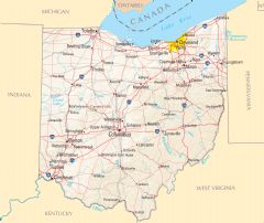
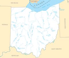
Ohio Rivers And Lakes
Ohio's rivers and lakes were essential to settlement, commerce, and economic growth.
The Ohio River
The Ohio River forms Ohio's southern border and was the gateway to the Northwest Territory for early pioneers. Cities like Cincinnati, locusville, and Portsmouth thrived as trade centers along the river.
The Muskingum River
The Muskingum River powered 19th century industrial development in cities like Marietta and Zanesville. Locks and dams helped make it a key shipping route.
The Maumee River
The Maumee River was important for trade and transport to connect agricultural goods from Fort Wayne to Toledo and Lake Erie.
The Great Lakes
The Great Lakes along Ohio's northern border catalyzed population growth and industry.
Lake Erie
Lake Erie enabled Cleveland and Toledo to become major shipping and manufacturing hubs, earning Cleveland the nickname "The City of Light."
Lake Erie Islands
The Lake Erie Islands include South Bass Island, home to Put-in-Bay, a popular summer tourist destination with wineries, ferries, and recreational opportunities.
From transportation to industry and recreation, Ohio's waterways provided historical access and continue to support tourism. Preserving water quality remains an important priority.
More Ohio Static Maps
Map of Ohio 1

Map of Ohio Na 1
Ohio Map
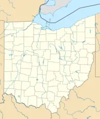
Usa Ohio Location Map
Ohio Flag Map
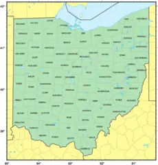
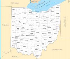
Counties Map of Ohio
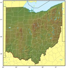
Ohio Relief Map
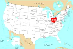
Where Is Ohio Located
Ohio Cities And Towns
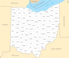
Ohio County Map
Ohio Reference Map
Ohio Rivers And Lakes