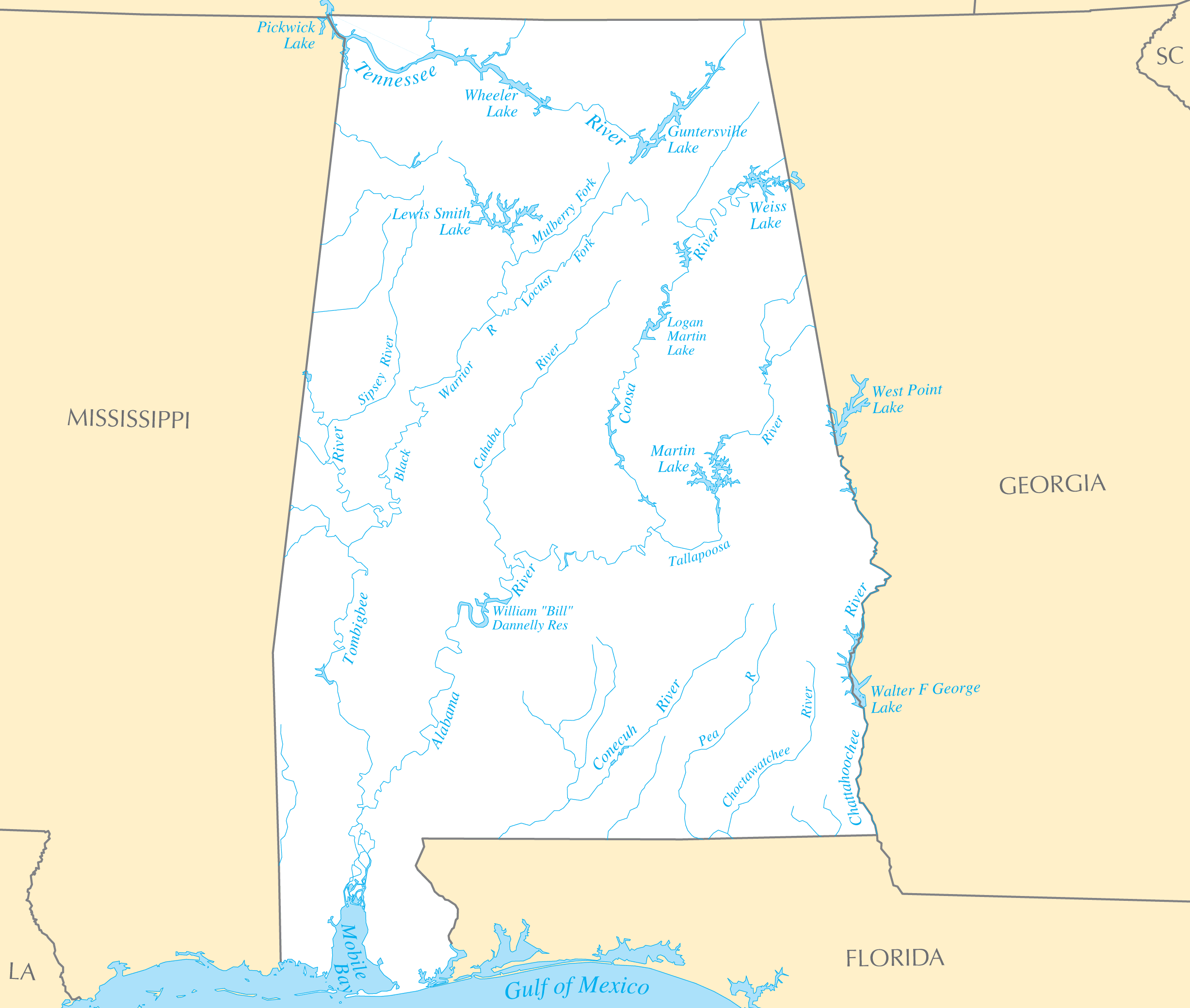
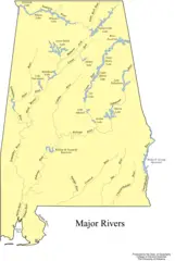
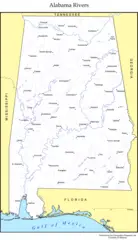
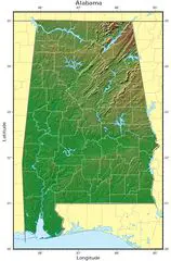
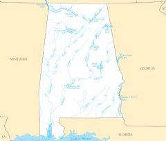
Alabama Rivers And Lakes
Alabama has several important rivers that have played a key role in its history, economy, and settlement.
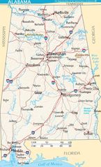
Alabama River
The Alabama River is one of the most significant rivers in the state. Facts about the river:
- It flows over 300 miles and meets the Tombigbee River to form the Mobile River before emptying into the Gulf of Mexico.
- The river passes through the major city of Montgomery, which is the state capital.
- It was a major transportation route for Native American tribes before European settlement.
- Today the river supports agriculture, industry, and recreation.
Tombigbee River
The Tombigbee River spans over 200 miles across western Alabama. Details include:
- It merges with the Alabama River near the city of Demopolis.
- The Tombigbee was vital for trade and transportation during the French colonial era in Alabama.
- Today it is an important route for commercial shipping barges.
- Portions of the river are popular for fishing, canoeing and other water recreation.
Tennessee River
The Tennessee River flows along the northern border between Alabama and Tennessee. Facts about the river:
- It provides hydroelectric power to the region via dams like Wilson Dam and Wheeler Dam.
- Cities along the northern Alabama portion include Florence and Decatur.
- It was named the Tennessee by the Cherokee tribe.
Major Lakes in Alabama
Some of the most notable lakes in Alabama include:
- Lake Guntersville: A massive reservoir along the Tennessee River and an important area for bass fishing.
- Lake Martin: Popular for recreational boating, swimming and fishing.
- Lake Eufaula: Located on the Georgia border, used for hydroelectric power.
- Lake Jordan: Just north of Montgomery, a popular recreation spot.
Alabama's rivers and lakes have played vital ecological, commercial, and cultural roles throughout the state's history. Learning about them provides insight into Alabama's geography and settlement.
More Alabama Static Maps
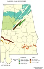
Alabama Coal Resources
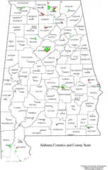
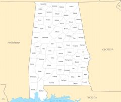
Alabama Counties
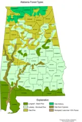
Alabama Forest Types
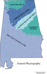
Alabama General Physiography
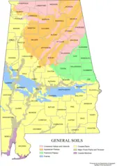
Alabama Map Soils
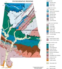
Alabama Physiographic Regions
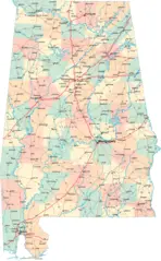
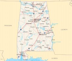
Alabama Road Map
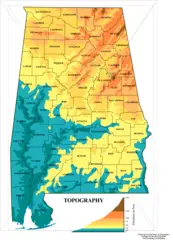
Alabama Topographic Map
Albama Major Rivers Map
Albama Rivers Map
Map of Alabama Terrain Na

Alabama Flag Map
Alabama Relief Map
Where Is Alabama Located
Alabama Cities And Towns
Alabama County Map
Alabama Reference Map
Alabama Rivers And Lakes